This is part of a longer itinerary from Lake Ingalls to Stevens Pass. The previous segment is -- Jack Creek to Meadow Creek.
Meadow-French Creek Junction > Klonaqua Lakes
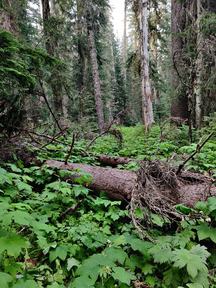
After clearing the Jack Creek burn and bushwacking through Meadow Creek, I arrived at the junction of French Creek. To the west, the trail continued to Paddy-Go-Easy Pass and FS-4330 / Cle Elum River. Turning right, onto French Creek Trail, the overgrowth just got a (tiny) bit better.
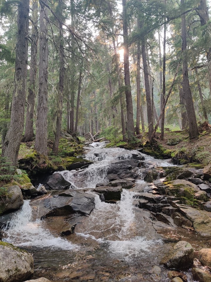
The next two hours were more of Meadow Creek, but slightly better. The trail jumps to different sides of the creek a few times at the beginning, but always look for the most obvious trail. The creek draining from French Potholes was especially scenic, cascading over stone slates.
Close to the junction for Klonaqua Lakes, I saw an empty bivy setup in a large spot close to the river. Around the curve, I saw the signed placard for Klonaqua Lakes and turned in.
Klonaqua Lakes
I encountered two folks coming down, returning to the bivy. Riding the switchbacks, I ascended at a hilariously slow pace, exhausted from the day. Tired, I trudged past the talus field, entirely missing the junction for the upper lake. With sundown approaching, I was eager to set camp at either lake before the bugs got worse.
The trail emerges at the outflow of the lower shore, for lower Klonaqua. There are two main sites, with some more if you poke around. There didn't seem too much to explore, and the lakes were more mediocre for me. There appeared to be a helipad over the outflow logjam, and a water gauge well.
The next morning, I descended, looking out for junctions before the talus. I turned at the first one, a bootpath that quickly led up to a lake -- which I realized was Bobs Lake, and lacked any visible campsites. A more established path followed just after, which probably went to the upper Klonaqua Lake. I marked both with a single rock cairn. The first cairn therefore goes to the upper lake.
Back down at French Creek, the trail is well established until about the junction with French Ridge, where the overgrowth and bushwacking returns. I met three folks coming in towards Klonaqua. Other reports stated French Ridge was a time-consuming mess so I walked by.
At a particularly bad treefall, I saw a permit on the ground dated August 4, starting from W Fork Foss on Hwy 2. Odd (since today was Aug 2) but impressive if they made it this far. Could also have been from 2020!
Climbing up a little, the trail gets drier and sunnier until reaching the junction with Icicle Creek. Checking out the broken bridge, it is indeed janky and broken, but there are posted signs for a horse ford (which I saw two folks crossing). I estimate its about shin-deep.
There are plentiful and spacious campsites on the north side of the bridge, at the confluence of both creeks, which make for a great midday splash.
The following segment is: Icicle Creek > Chain-Doelle Lakes > PCT J to Stevens Pass.


Comments