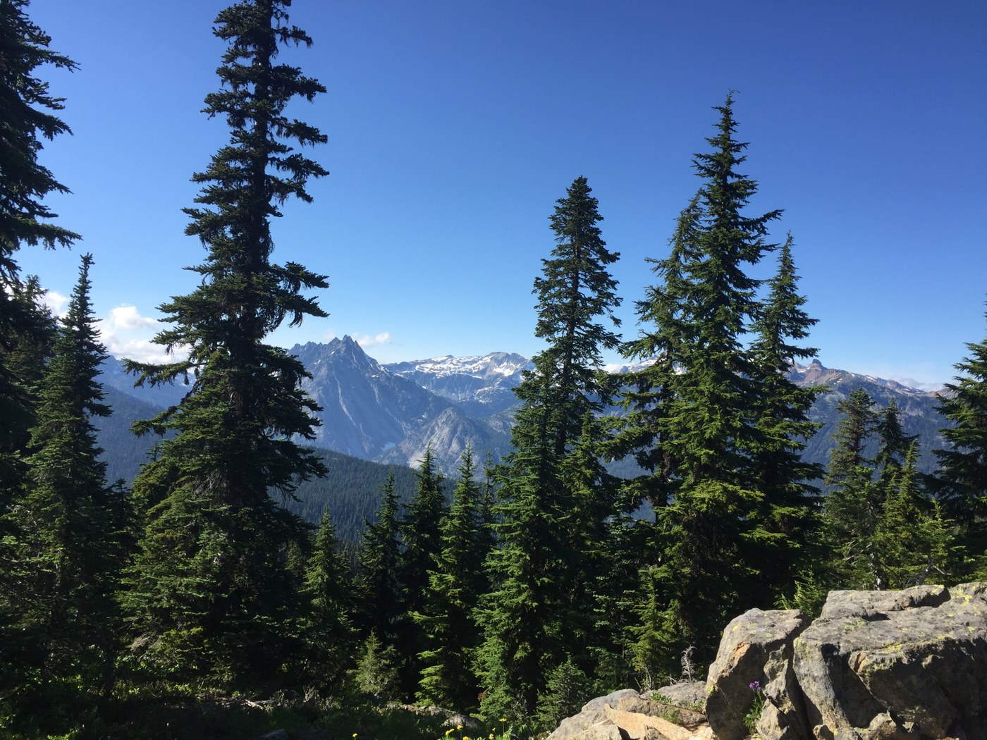
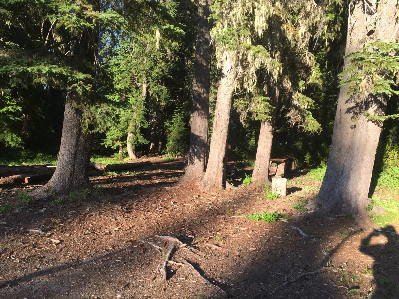
What with nice, but cooler weather in the forecast, and a couple of unscheduled days, I decided on an overnighter to one of my favorite spots – Salmon La Sac. So I headed up the Cooper River trail, then up Tired Creek to Pollalie Ridge, finally down to Waptus Pass to hole up for the night (buggy, as usual, with a few fast disappearing snow patches, but dropped to 43 deg by morning). The next day I was up early and down to Waptus Lake by 8 am, before the long hike back to Salmon La Sac (ferocious bugs the first half – wonderfully gone on the second half).
The Cooper River trail is well-used and delightful, with even a few swimming / fishing / picnicking spots as it approaches the Cooper Lake road. From there follow the road a few yards northwest to pick up trail 1327 through the Owhi Campground (soon just yards from Cooper Lake, waving to campers). Now go right into the boat launch parking to find the continuation of the trail to a big trailhead shortly beyond the upper end of Cooper Lake. This is a pleasant, flat trail, but with some confusing side trails in places (both to roads uphill and informal campsites toward the lake). There is also a rough, lakeside way trail to informal camping and fishing sites (you can easily bushwack up to the main trail if necessary).
I seemed to be the first person to hike up the Tired Creek trail this year. The trail itself is well graded but with a few brushy spots near the start and a winter’s accumulation of fallen branches, etc. I cleared off the bulk of this myself, mostly with my two hiking canes, but occasional tree-fall was tougher. One substantial tree, over 2’ in diameter, had fallen across the trail both before and after a switch back at 3900’, leaving an enormous covering of broken off branches in between. Spent 10 to 15 minutes clearing all that so that you could easily duck / squeeze under the tree at both crossings. The cooler 60 to 70 deg temps really helped here.
There’s good water from Tired Creek at 3200’ but nothing again until the first trickles above 4500’, one a substantial spring above 4900’, with some gurgles and a few lingering snow patches as you traverse past some luxurious wet meadows. Eventually you climb through this alpine wonderland to the trail junction at 5400’, with a 100’ elevation gain to the sweeping views from the old lookout site (from 3 Queens to the west past Daniel to the north and Stuart to the east). Rest amid, grasses, wildflowers, and a couple of old concrete foundation blocks. For the hearty, an up and down trail leads south on Pollalie Ridge past Diamond Lake (good rest stop) back to Salmon La Sac. Instead I headed back to the trail junction and down the steep switchbacks through thick forest to Waptus Pass. Again I did heavy clearing of the forest debris all the way to the Waptus Pass trail. A few hundred feet before that junction a substantial horse camp lies between Quick Creek and the large wet meadow that occupies the Pass. Here I was surprised that a few thin snowbanks lingered, but not surprised at the mosquitos, as I’ve passed this way on several occasions.
The nice trail down to Waptus Lake already had been somewhat cleared. Just beware of route finding across the dry bed of old Quick Creek shortly after the easy crossing to today’s creek. Look for minimal tread heading downstream a 100’ or so, cross at a couple of small cairns, then spot similar tread heading back up. Before long the Quick Creek camp trail leaves to the left, with the first campsite coming only after several hundred feet. This popular site has a magnificent lakeside beach, with other campsites hidden behind in the woods or further up lake.
From here to Salmon La Sac the trail is wide and well used – by both horses backpackers, with even more campsites on the north side of the lake (prepare to wade the Waptus River at the horse ford, but enjoy the jagged Pacific Crest peaks rising impressively to the west). In addition, Waptus Lake is noted for the best mountain swimming in this region - cool but not frigid like most lakes - with many campsites having good beaches.
The trail to Salmon La Sac crosses numerous creeks, so water is no problem even on a hot day. There are some flat stretches, but also modest ups and downs in between. As usual the bugs disappeared by the large and scenic riverside campsite by Hour Creek (3.4 mi from Salmon La Sac), but at one point people were putting on headnets in addition to bug dope, long sleeves, etc. – the worst I’ve ever seen it here.
At the end of the hike, young people may be tempted to join the crowd with a dive and swim at the big pool in the Cooper River at Salmon La Sac. Instead I stopped for a cold beer and super deluxe burger at the first bar and restaurant you come to after Cle Elum Lake – the “Last Roadhouse”.


Comments
kjean on Cooper River, Tired Creek, Waptus Pass, Waptus River, Polallie Ridge
Great report! How deep was the waptus river when you crossed? Was the flow pretty strong or mellowish?
Posted by:
kjean on Jul 13, 2021 03:10 PM
Waptus River flow
Did not cross the Waptus River. But it looked like a medium flow - typical for this time of year.
Posted by:
Dick Burkhart on Jul 13, 2021 05:07 PM
Olga on Cooper River, Tired Creek, Waptus Pass, Waptus River, Polallie Ridge
How many mile RT do you think>?
Posted by:
Olga on Aug 16, 2021 07:41 PM
Dick Burkhart on Cooper River, Tired Creek, Waptus Pass, Waptus River, Polallie Ridge
About 23 miles round trip
Posted by:
Dick Burkhart on Aug 16, 2021 11:26 PM