
***FOUND*** Trekking poles found Friday Night at Ira Springs Trailhead, send message with description and we can reunite.
We hiked to P3 from the Ira Springs Trailhead after work Friday night. The trail was easy to find and in good condition, with only a few trees to get over, easily. That being said, it is always good to have a map, GPS on the phone (GAIA) is always helpful when multiple cutoffs are experienced.
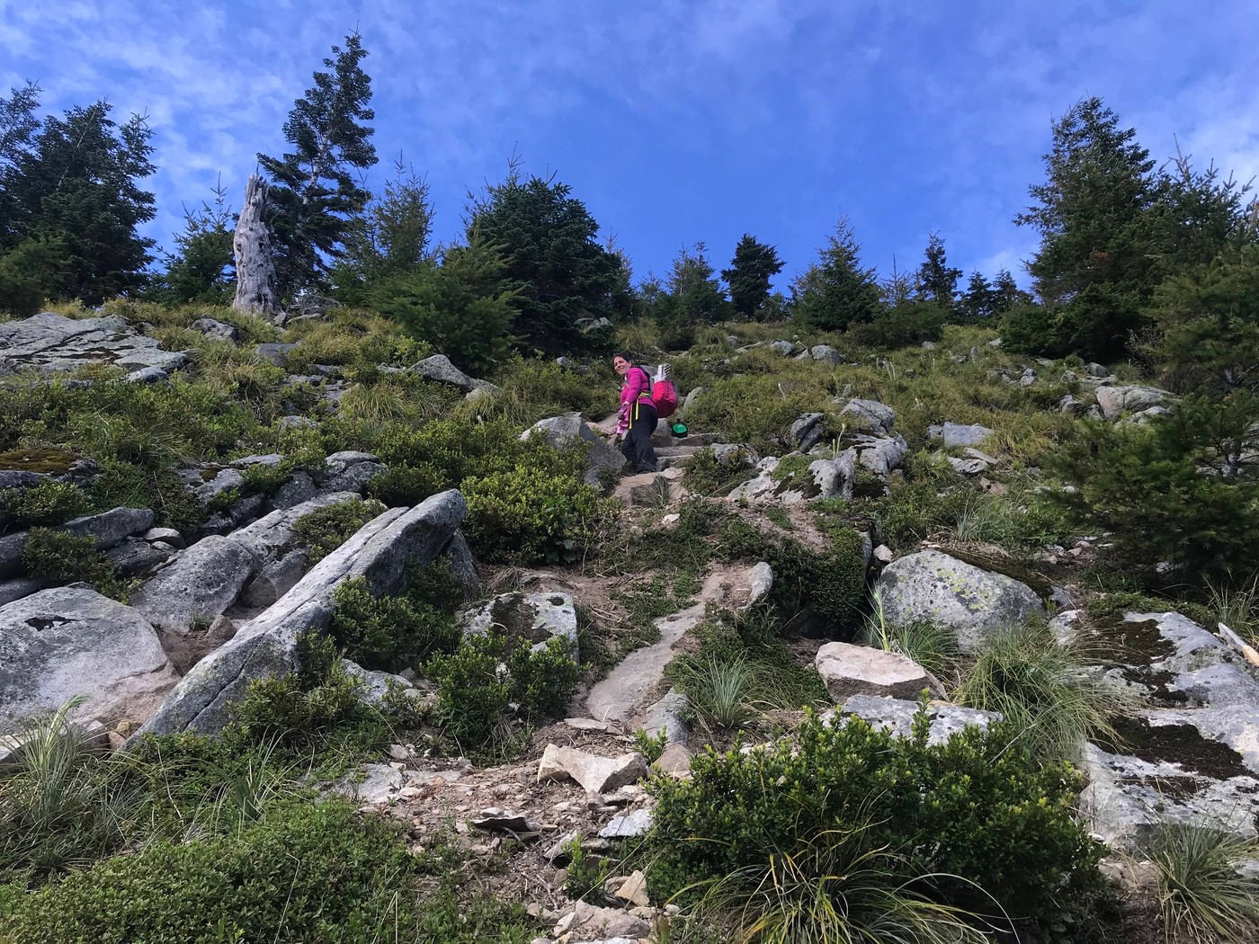
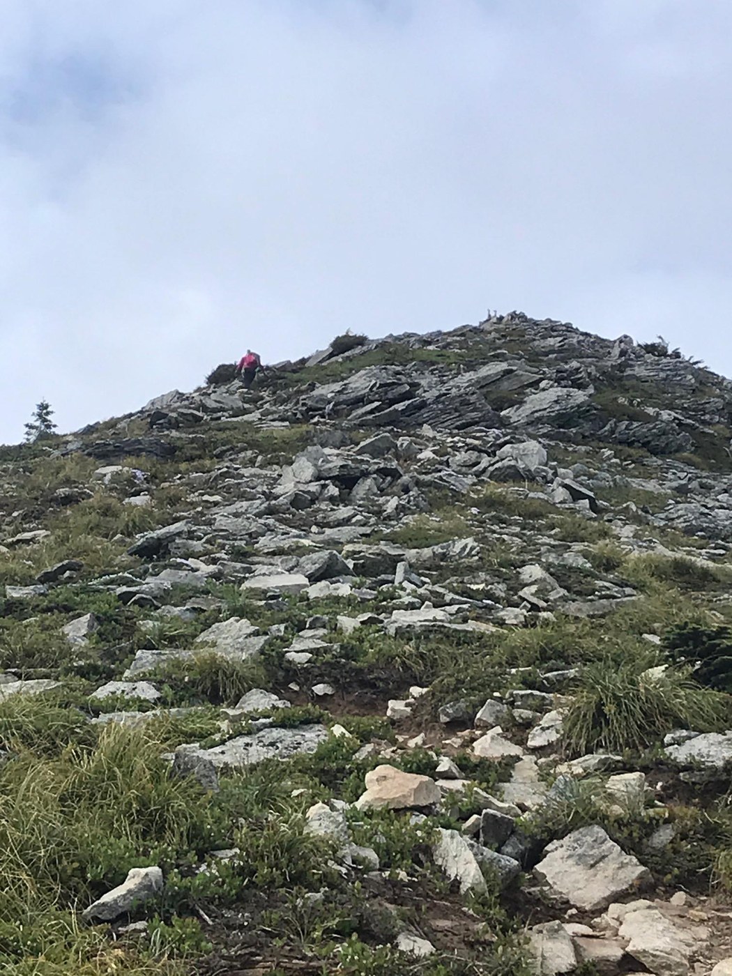
This is a shorter hike than we are used to, but the difficulty made up for it. This baby is steep! The easy start turns into a steady climb through switchbacks, crosses a small boulder field, then gets serious. The last mile plus is UP. The trail becomes more of a four appendage scramble through loose dirt and medium to large rocks, not all of them stable. You will eventually round a corner thinking you must be getting close, I'm calling it heartbreak corner. It reveals the lengthy and steep boulder strewn ridgeline you have left. It's a thigh burner and a Class III scramble awaits at the top. Don't forget to sign the register on top tucked in the rocks.
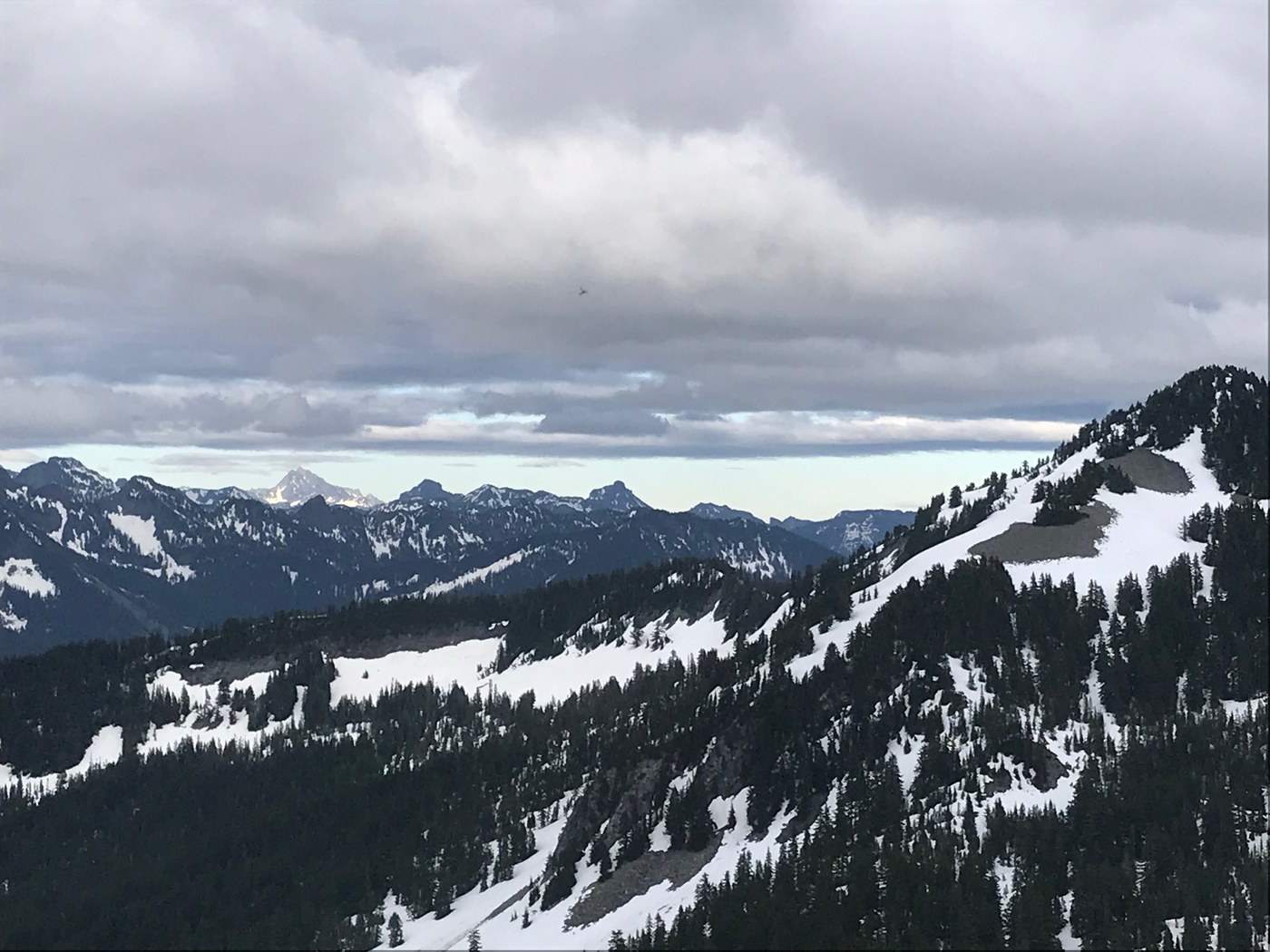
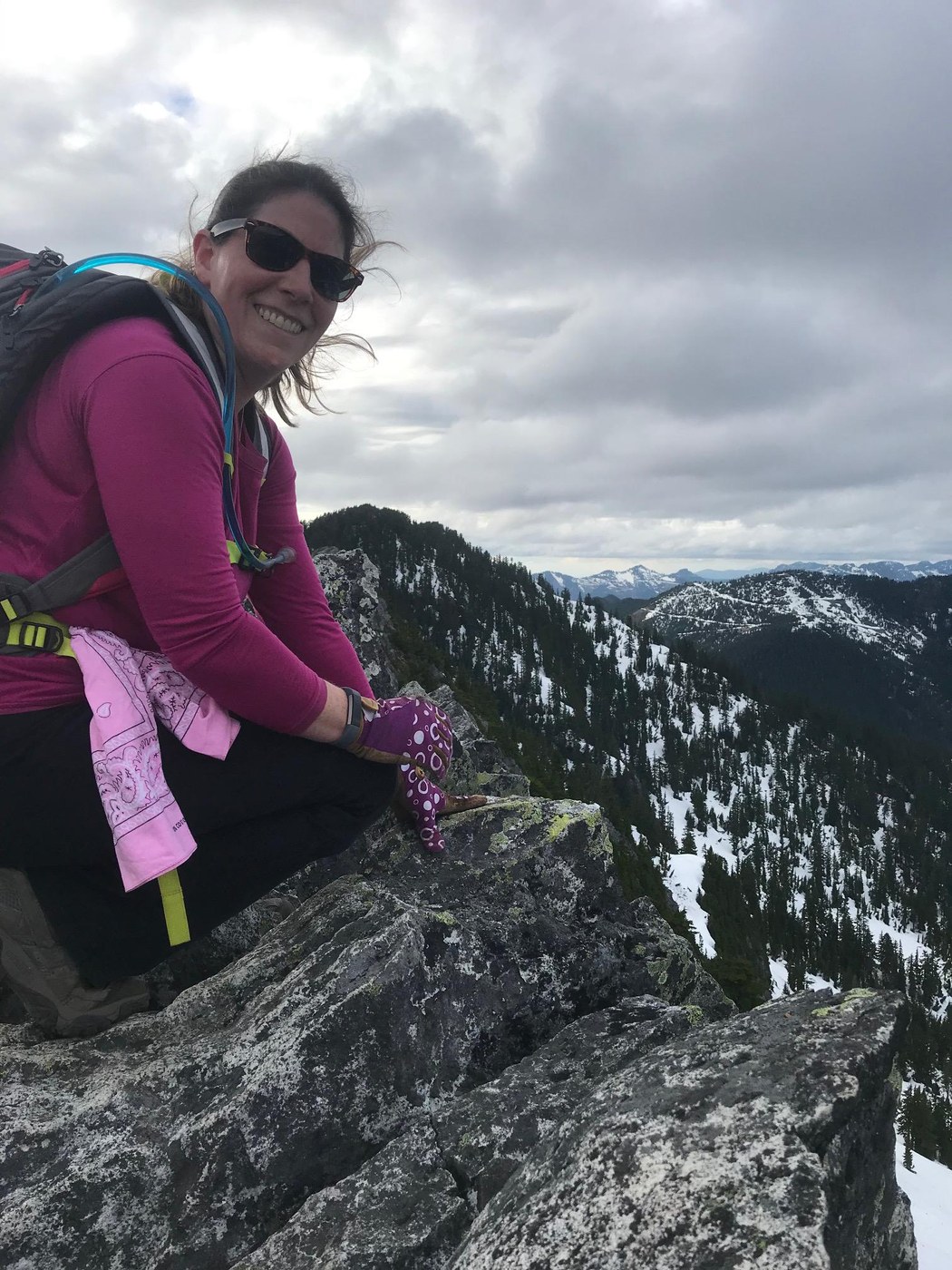
The peak is worth the effort, magnificent views abound. From Seattle, to Mt. Rainier, to Mt. Stuart, you can see sooo much!
Now the descent. Be careful, this is one of the more difficult "Hiking" descents I've done in 40 years of hiking. Some rocks are not stable, and some have thin layers of dirt making them slippery. It's certainly doable, but requires patience and attention.
We wondered how it compares to Aasgard Pass and had to look it up once home. The last 3/4 mile is actually steeper than Aasgard Pass, which is well known for that. You have just over 2,000' of gain in that 3/4 mile.
All this said, we plan to do this one again on a clearer day. The vantage point is too good not to.
Comments