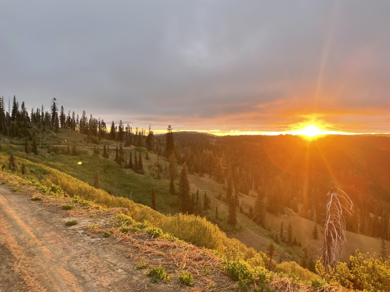
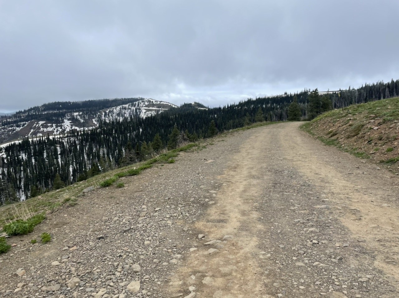
I car camped a little under 4 miles away from the lookout on a section of road wide enough not to block other folks. I did this because there’s an avalanche slide path covering the road 3.7 miles away from the lookout.
The sunrise this morning was fantastic. I got up, started walking down the road (which was mostly snow free for the first few miles). I ran into some gnarly tall (~10’) snow drifts which made for fun pseudo ice climbing challenges in the morning (wish I had brought my lightweight aluminum crampons 😅).
I saw some bluebirds on the way in too, which made me super happy 😊.
The last 0.5 miles is snow covered and steep with poor runout in areas. I used my axe here, combined with my trekking pole as a cane (for stability) downhill. For whatever reason I decided to do some hard class 4 mud/crap rock (very loose) scrambling, with the added bonus of having to climb up ice wall sections. My Trangos came in handy here, but I wouldn’t do what I did and instead just walk the road (which I did on the way out). Microspikes and trekking poles would have been fine for this section.
Slipped, fell, and laughed on a no-consequence ice wall near the end of the road. It’s funny how I made it up all the hard stuff and ate it on the easy stuff.
There are a number of cool trails up here, including some long distance backpacking/hiking trails. I’ll have to come back sometime and poke around to discover more of what the Blue Mountains offer another trip.
Less than 8 miles round trip from where I parked and less than 1k’ vertical change.
Road Conditions
Up to the NF-64 section, it’s a nice well-graded gravel road with some minor rockfall, washboarding, and one minor section of unavoidable potholes. After the NF-64 junction (going off on Kendall Skyline Rd), the road conditions are hot garbage: lots of mud, high clearance rutting, and of course snow. If you have a lower clearance sedan, I would just park at the junction and/or wait a couple months for stuff to dry out; hopefully USFS will fix up the road a bit more, but I won’t hold my breath.


Comments
RichP on Table Rock
Good to know conditions. I was planning to visit this lookout prior to my BCRT in the same area later this week. I'll put it off for later in season when I can check out a couple of other places in the area further up that road. Lots more snow than I imagined.
Posted by:
RichP on Jun 06, 2021 12:45 PM
ngie on Table Rock
Good idea (and thank you for doing the BCRT!!). I’d check out Oregon Butte via Teepee Trailhead if you’re looking for an alternative lookout. The road was pretty good/melted out (just a bit better with high clearance vehicles thanks to the mud/rutting).
Happy trails 😊!
Posted by:
ngie on Jun 08, 2021 08:28 AM