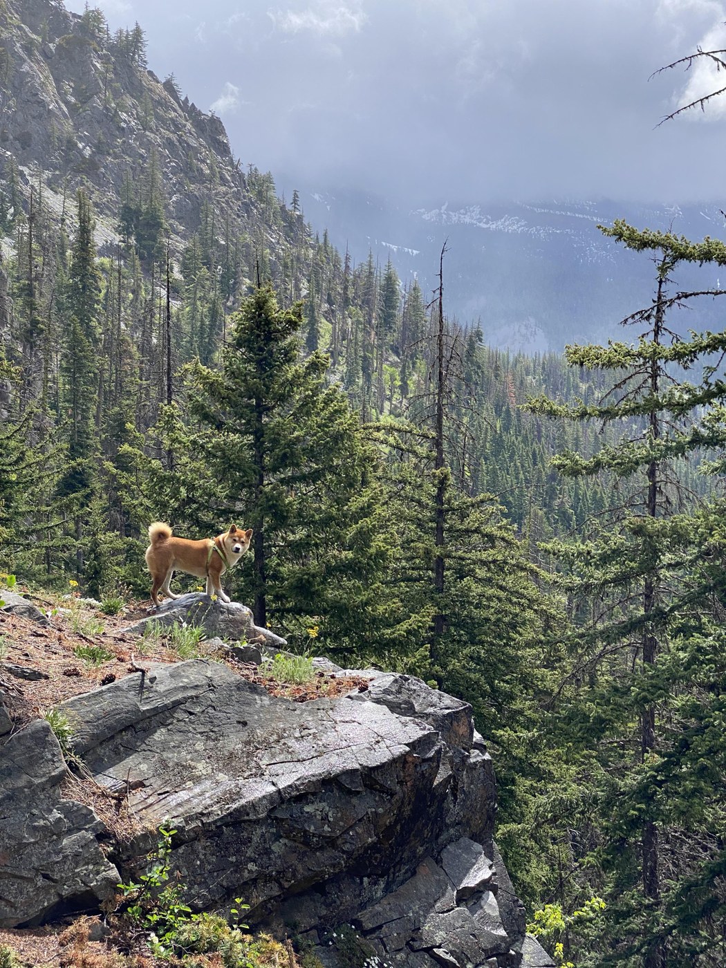
Decided to do a clockwise loop around Esmeralda Peaks. And to avoid hiking up to the car - have started from De Roux campground- instead of Lake Ingalis trailhead.
Road
The road up to Twentynine Pines is covered woth asphalt and joy to drive. After Twentinine Pines campground it's quite rough with a lot of round and deep potholes. But it's passable even in sedans if you drive slow and carefully.
Weather
It was raining almost whole day. From a light drizzle to the heavy rain to light snow on Fortune Creek pass.
Creek Crossing
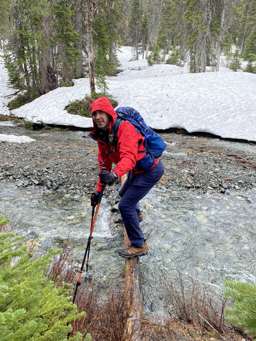
Dr Roux creek is full of water and impossible to cross at the place marked on AllTrails Gaia maps. We had to walk along the western shore of the creek in a search of a passable place. Found a small island on the creek, jumped over one stream, then built a small dam out of large rocks, complimented it with a log. Passable. Took almost 30 minutes to cross.
Coordinates of the crossing: N47.43258 W120.97581
Going up from the Jeep Trail to the pass - was miserable - about 50 mp/h winds, light snow, exposed to elements from all sides.
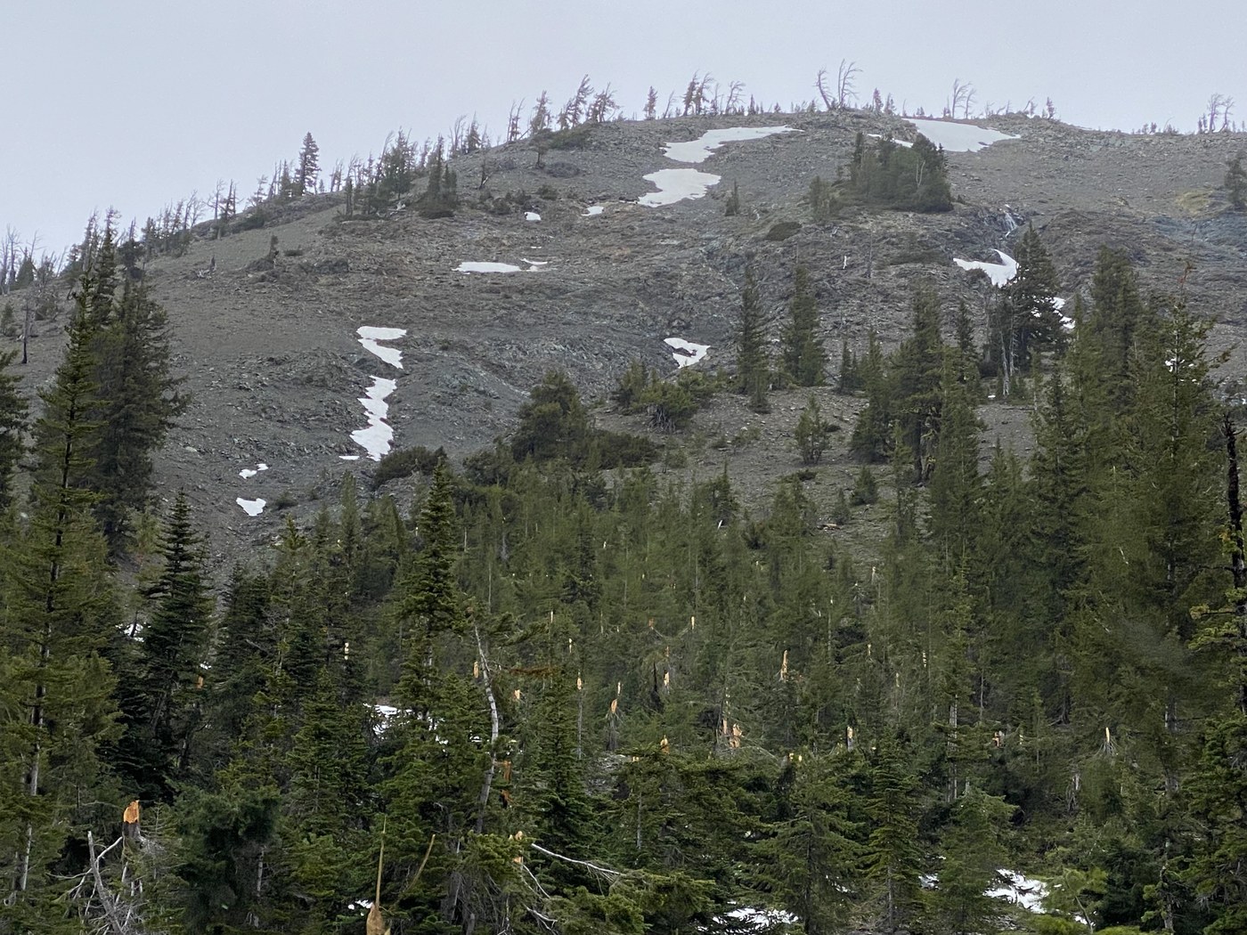
hallf way between the junction with the trail to Lake Ann and junction with the trail to Lake Ingalis - a very devastating view of the forest that was cut like with a knife with what seems to be an avalanche. Two separate chutes - where trees are broken around 10 ft from the ground - ALL trees. Each chute is about 500 ft wide. Hope nobly was hurt on injured when it happened.
Overall - nice hike with nice views - even considering the rain!


Comments