A previous trip report described sections of the road as "spicy". I would not say that it is not. It is narrow with few turnouts, has some muddy sections, rocky sections, sections that are nearly deeply rutted on the uphill side and steeply drop off on the downhill side, did I mention narrow? Some of said sections really look like a washout in progress, it was a very slow thrill ride. If you're brave enough: you certainly don't need an off road vehicle, but it would be awfully creepy in a sedan. My 2005 Subaru forester did just fine, I'm still not sure it was a wise choice to go past some of those washed out sections though.
Another previous report mentioned adding mileage to the hike to account for the portion of road one must walk along. I noted however, that both my green trails map and caltopo reflect the change, and both show the start of the trail at the end of the current drivable road (a little more than 3 miles up road, it's barricaded here).
I hiked from this point, to a clearing at about 2.7 mi (give or take, my gps signal was real wily here), or just inside the wilderness boundary). Currently the bush is without foliage and the road/trail is very easy to keep track of, I wouldn't say there's much route finding or bushwhacking going on this time of the season.
The snow begins within the first mi, and gets deeper pretty quickly. This is currently the most notable obstacle. Snowshoes would not be out of place here on a warm day like today (high of 41), I made it without them, but they would've made travel more efficient and at times safer. On the road, the snow got to be a few feet deep, pretty consistently. However there are two creek crossings prior to the old trailhead that require some care; they both have some largish boulders around them, and that made for some really unpredictable footing. At the first one (about 1.6mi), I sank groin deep, and had to dig my foot out. Poles made pretty useful probes here to check what was under the snow before proceeding.
I had to turn around sooner than I wanted due to a late start, but I did expect to have to stop around 4.1 mi, as my maps indicate there could be some dangerous avalanche terrain by that point, I did hear a few on my hike...
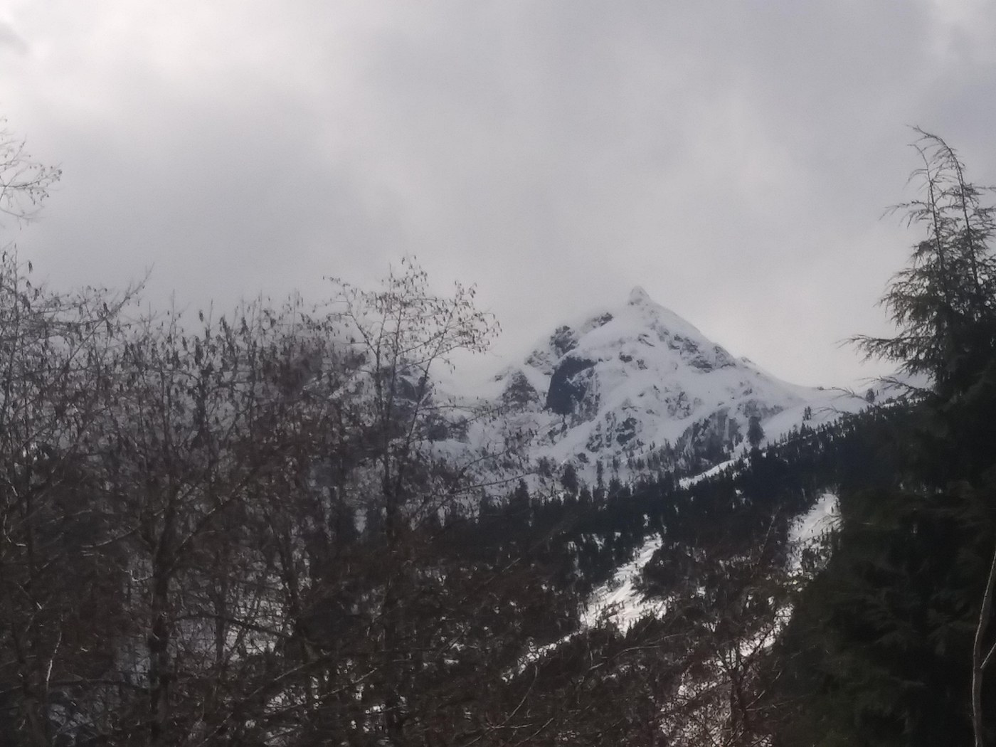
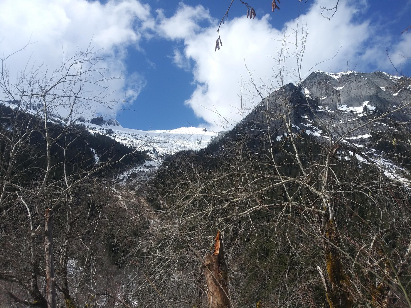
I did get some nice views at my stopping point at 2.7 mi though. Hope to make it back to go up the pass in the summer, maybe from the eightmile creek side though, to avoid that sketchy road.


Comments
Muledeer on Squire Creek
It's a nice mess of a rocky rooty, nasty trail from Eightmile, and the road isn't much better, although doable with a Subie, at least it was 2 yrs ago. I love that hike!
Posted by:
Muledeer on Apr 05, 2021 11:59 AM