Tried to access Larch Lake via the Alpine Lakes High Camp drive, but the road was gated shut. Turned back onto Hwy 2, and turned out at the signed exit for Loch Eileen and the village of Merritt. The road gets a bit bumpy; we parked under the electrical lines and walked up to the trailhead-- there is a small lot for those with clearance. Filled out a self-issue permit, and began our start, a little later than planned.
The first section climbs from 2300 feet to about 4000 feet, where it breaks out into a clearcut. The trail crosses logging roads three times, with the entire section under direct sun. The sun, unexpectedly warmer temps, and late start meant we wouldn't make it to our goal of Lake Julius, and set up camp along the expansive well-shaded shore of Lake Ethel. We had a clear starry night with no other campers joining us.
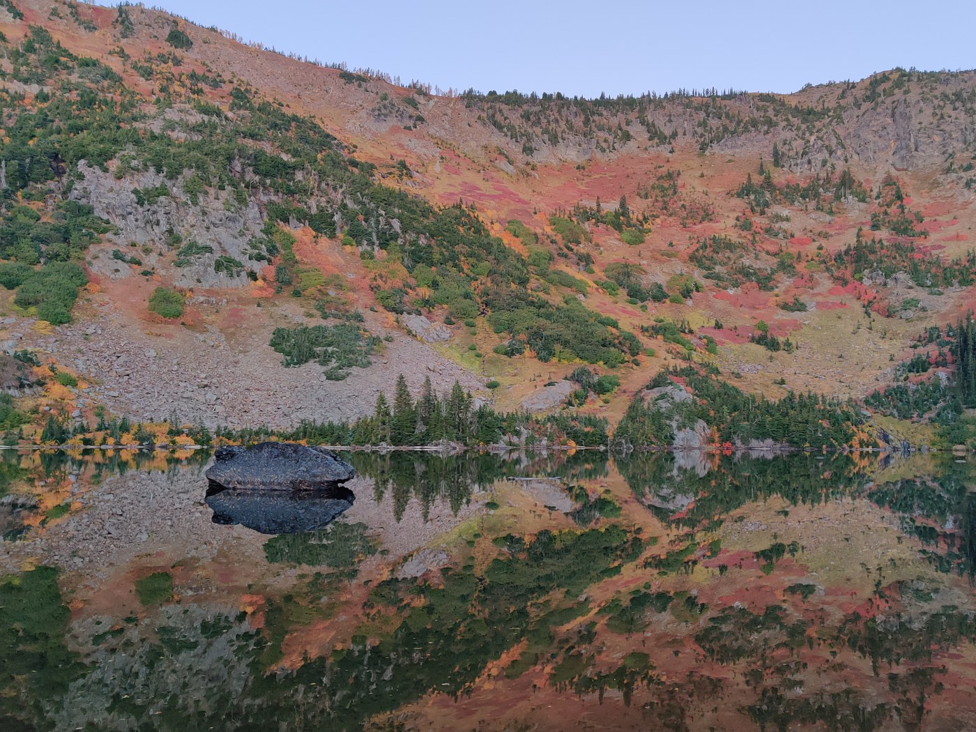
In the morning, we packed up our overnight packs and left them in our tents, swapping them for daypacks. As the sun rose, it cast a brilliant red hue on the top of the ridge towering over Lake Ethel. The slope itself, an array of fall colors, is dotted with miniscule larches at the very top.
From Lake Ethel, we continued down the trail, heading southeast where it rides a ridge, and at the bottom the descent, meets a junction. We turned right towards Lake Julius, about 15mins in. The shore is a bit muddy & grassy, and a short bit further leads to Loch Eileen.
Here, a lot more larches lined the lake, but intersparsed occasionally amongst the many spruces and firs. Like Lake Ethel, the slopes cast a colorful wash of autumn colors.
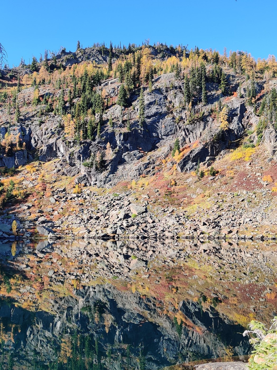
We still had a bit more time, and looked for the trail up to Lake Donald (close to the latrine). A short trail, we reached the top in about 20mins, though it is unmaintained and marked only with a sufficient number of cairns. Portions will require 3+ points of contact, as you'll hug the cliff face for a bit; poles will be helpful going down.
I thought we'd need to ascend the highest ridge, but instead the lake lie after one of the lower ridges. Larches were much more plentiful here, and the sun shone into the lake in a brilliant emerald-blue hue. If you're going to Eileen or Julius, add the 30-60mins to make it all the way up.
At 11am, we started our descent, zooming by Eileen and Julius. At the junction, remember to take a left towards Ethel, and not a right (crossing the creek) towards Chiwaukum Lake and McCue Ridge. After the initial descent up, the rest of the trail is downhill to Ethel, where we broke down our tents and swapped packs, and continued downhill towards the trailhead. Two other folks had setup camp by the time we returned to Ethel, each claiming a nice ledge overlooking the lake.
The larches weren't as intense, but for having almost nobody on the trails, was well worthwhile. I also found a handful of white chanterelles, and on the shore of Ethel, a huge king bolete.


Comments