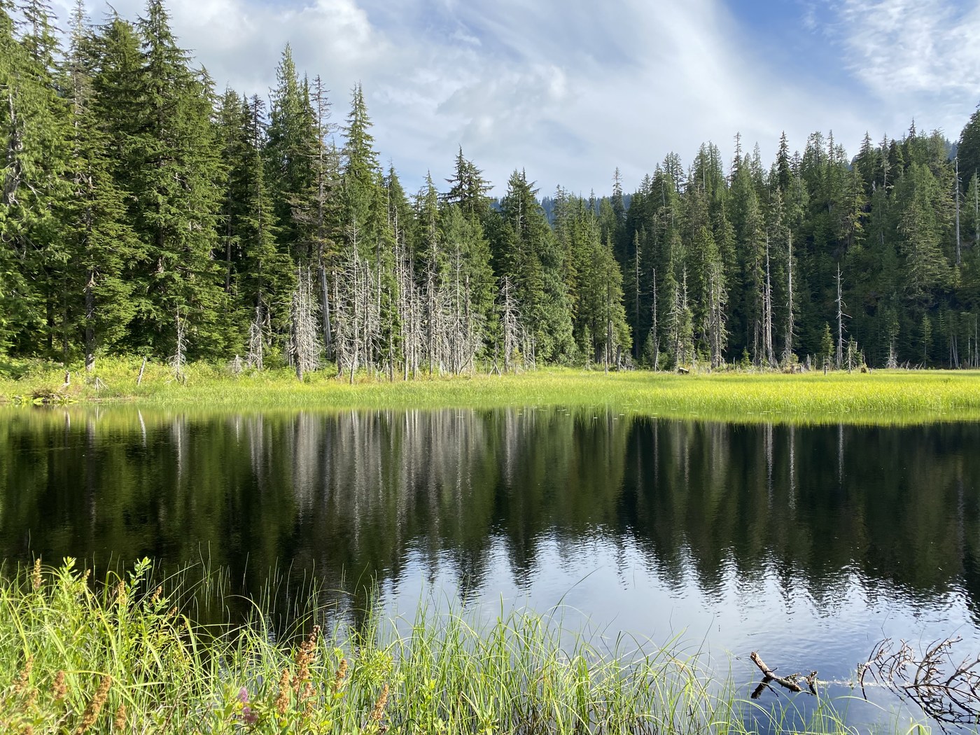
***** I hiked to Ashland Lakes but want to warn folks about the road that goes to all of these trailheads, and the trail to Bald Mountain from this access point. *****
Holy shmoly, the road leading to these trailheads is ROUGH. It's about 5 miles to Ashland Lakes (my destination) and it took nearly an hour of traversing giant, cratered potholes spanning the entire road in places, huge ditches of water on one side or the other of the road which often left a narrow gap of road that was navigable, or just rock-rutted road that you had to take slowly. I have a high clearance Honda Pilot and can't imagine anything less making it through that. The plus side is we saw two other parties (one on the way in and one on the way out) the whole day so mostly had all three lakes (Beaver Plant, and Upper and Lower Ashland Lakes) to ourselves. Do not go up there with a sedan or small car--you'll be towing your vehicle out.
The trail to Bald Mountain that lies between Beaver Plant Lake and Upper Ashland Lake has a big messy blowdown on it. It looks like you could carefully pick your way through, but it's a mess. I've included a picture so you can make up your own mind if you're planning to take that trail.
As for the hike to the Ashland Lakes, it was pretty, but a little on the meh side. There were some wildflowers hanging on, but not in abundance. We saw some scattered pearly everlasting, spirea, a little bit of fireweed, the occasional twinflower, bunchberry in its berry phase, a few patches of declining arnica, post-bloom skunk cabbage, and one white hellebore with a beautiful tall flower stem with leaves mostly chewed out by bugs. I did see some interesting fungi, which, with the help of inaturalist I think may have been russula cerolens or russula pectinitoid, and fomitopsis ochracea.
Lower Ashland Lake seems to be favored over the upper lake in other trail reports and the WTA description, but it is ringed by brush and trees all around its shore with very few places from which to actually see the lake. It felt claustrophobic and dark. The lower lake's water is tinged brownish, which thanks to my expert outdoors knowledge from watching a few seasons of Alone (haha!) I think may be tannins from all the cedars around and in the lake's edges. I much preferred the upper lake, which has a more accessible shore and plenty of places to enjoy the lake, and somewhat clearer looking water. Also be aware that the boardwalk planking around Beaver Plant Lake is underwater in many places, so you can't walk around the lake in its entirety. The boardwalk trail partially around Lower Ashland Lake just disappears at one point and you have to detour through some campsites to pick it up again, but it's not hard to find.
All three lakes have a handful of campsites with a metal fire ring at each site and a port-o-potty at each campground. We used the privy at Beaver Plant Lake, and it was almost full to the top with trash (plastic water bottles among other junk). I have no idea how they clean those out--do they helicopter in new ones and haul the old out? Or do some poor rookie rangers have to haul out the waste every so often? Whatever the case is, with the Covid shutdowns and our declining wilderness budgets, the one we used (and I suspect the others) is in dire need of attention. (We also stopped at the Verlot ranger station on the way in and used the privy--same situation. The regular toilets, as well as the ranger station building, were closed and they had two port-o-potties out front which were dangerously full.)
The campsites are nice, with the ones at the upper lake being my favorite; they were more open and near the lake than the sites at the other two lakes.
The trail is pretty varied; it begins with a nice wide (shale?) path and turns to dirt eventually, which becomes pretty rocky and rooty in spots, and even has a few sections of stairs. But overall, it's a fairly easy trail, certainly easy to follow (all junctions are clearly signed) and easy enough to stay safe on with a little attention in the rough spots (I was glad to have my trekking poles for balance in some of the bumpy places).


Comments
Muledeer on Ashland Lakes, Bald Mountain via Ashland Lakes, Pinnacle Lake, Boardman Lake, Island Lake
The condition of that road is a real pet peeve of mine! Such a nice family and senior friendly hike and the family car can't get in there! We took our kids backpacking in there years ago, had the place to ourselves, and we got in with a Ford station wagon!
Posted by:
Muledeer on Aug 25, 2020 09:01 PM
Tree Hugger on Ashland Lakes, Bald Mountain via Ashland Lakes, Pinnacle Lake, Boardman Lake, Island Lake
I went to Boardman several years ago when my kids were little, and I know I didn't have that hard of a time on the road--I had a Mazda minivan back then. It has really deteriorated in the interim.
Posted by:
Tree Hugger on Aug 28, 2020 11:29 PM