Trails for everyone, forever

Home Go Hiking Hiking Guide Wood Trails

Wood Trails

Puget Sound and Islands > Seattle-Tacoma Area
47.7725, -122.1479 Map & Directions
Length
1.4 miles, roundtrip
Elevation Gain
500 feet
Highest Point
400 feet
Calculated Difficulty About Calculated Difficulty
Easy
A view along the Dave Henry Trail. Photo by Rolan Shomber. Full-size image
  • Dogs allowed on leash
  • Good for kids

Parking Pass/Entry Fee

None
Saved to My Backpack

The Wood Trails area provides for a pleasant walk through a shady forest on a hillside with a native plant understory. Continue reading

Rating
0.00 out of 5

(0 votes) Log in to rate

Hiking Wood Trails

Wood Trails is a 53-acre forested hillside park in Woodinville, between the West Wellington neighborhood at 400 feet and the Warehouse District at 200 feet. The area is second growth with maples, alders and cedar trees, with typical Western Washington understory. There are trailheads at both elevations.

As of 2026, there are 0.9 mile of good trail, usable by hikers and mountain bikers:

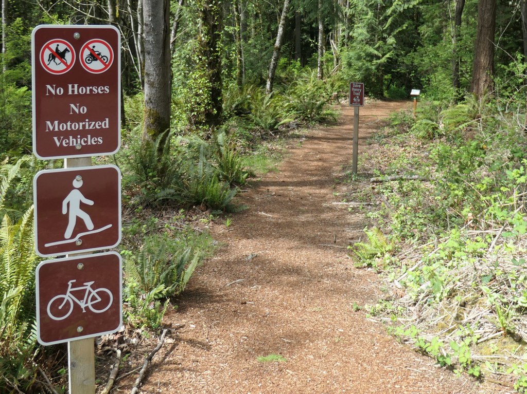
  • Dave Henry Trail: 0.3 mile (Dave Henry was an early trail maintainer and proponent of this park)
  • Unnamed trail (water pipeline): 0.2 mile 
  • Unnamed trail (traverse at 400ft): 0.4 mile 

There are maps with index numbers and direction arrows at each trail intersection and the upper trailheads to help with navigation.

A "double-stick lollipop" route that uses all the trails is 1.4 miles. This starts from the lower trailhead and goes up the waterline trail, turns left onto the Dave Henry Trail, follows the traversing trail to its southern end and returns on it to the pipeline trail for a descent back to the lower trailhead.

There are 5 trailheads. The lower one is at the corner of NE 200th St and 144th Ave NE with street parking. The four upper ones are along segments of 148th Ave NE between NE 195th St and NE 202nd St, with somewhat limited street parking at each to avoid blocking roads and driveways.

For those wanting a workout, the climb from the lower trailhead has 65 vertical feet of 4x4s and soil stairs and a partially rutted bike trail that parallels the stairs. Do as many repetitions as you like!

Toilet Information

  • Toilet at trailhead

More information about toilets

Hike Description Written by
Rolan Shomber, WTA Correspondent

Wood Trails

Map & Directions

Trailhead
Co-ordinates: 47.7725, -122.1479 Open in Google Maps

Before You Go

See weather forecast

Parking Pass/Entry Fee

None

WTA Pro Tip: Save a copy of our directions before you leave! App-based driving directions aren't always accurate and data connections may be unreliable as you drive to the trailhead.

Getting There

Starting from intersection of Woodinville-Snohomish Rd NE and NE 195th St:

Lower trailhead

Go north on Woodinville-Snohomish Rd NE for 0.3 mile and turn right onto NE 200th St and follow it for 0.3 mile to 144th Ave NE. There is on-street parking approaching the intersection and in both directions on 144th Ave NE, excluding the no parking zone around the intersection.

Upper trailheads 

Go east on NE 195th St, Woodinville Way NE, Woodinville-Duvall Rd NE for 1.3 miles. Turn left on 156th Ave NE and follow it for 0.5 to 0.8 mile. Turn left on one of the following: NE 195th St, NE 198th St, NE 201st St, NE 202nd St and follow it for 0.5 mile to the end. The most parking is at the end of NE 201st St.

There are no facilities at any of the trailheads.

More Hike Details

Trailhead

Puget Sound and Islands > Seattle-Tacoma Area

Woodinville Public Works

You can improve or add to this guidebook entry!

Wood Trails

2 Trip Reports

Hiked here recently?

Submit a trip report!
 
Loading trip reports...
Trip Reports