Trails for everyone, forever

Home Go Hiking Hiking Guide Wenberg County Park

Wenberg County Park

Puget Sound and Islands > Seattle-Tacoma Area
48.1360, -122.2858 Map & Directions
Length
0.4 miles, roundtrip
Elevation Gain
75 feet
Highest Point
450 feet
Calculated Difficulty About Calculated Difficulty
Easy
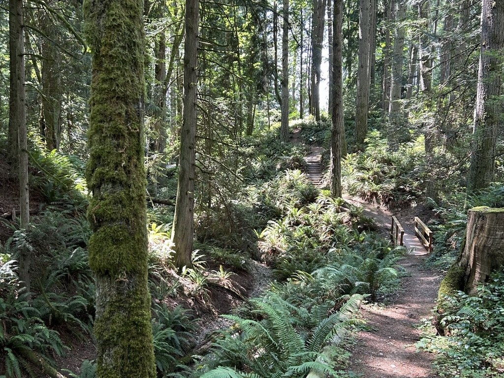
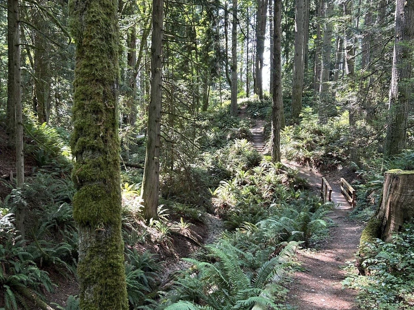
A ramble around Wenberg County Park on the Killaqua Creek Trail. Photo by Jen Boyd. Full-size image
  • Dogs allowed on leash
  • Good for kids
  • Lakes
  • Wildlife

Dip into a forested lollipop loop in a shoreline park on Lake Godwin in Snohomish County. Continue reading

Rating
0.00 out of 5

(0 votes) Log in to rate

Hiking Wenberg County Park

Killoqua Creek Trail is a lollipop loop trail within Wenberg County Park with narrative signs highlighting the flora of the area.

From the entrance station, turn slightly back toward Lake Godwin Road, and look for the trailhead just to the right. After a minute of walking, bear to the right of the split in the trail to hike counter clockwise. Notice how peaceful the loop is for being so near a road as well as a major swimming beach and water sport area. Killoqua means "deep peaceful lake," and here the name fits the lake and the adjacent forest. 

The route is dotted with sword ferns, Oregon grape, Sitka spruce, Western red cedar, vine maple and huckleberry. At the next junction, turn left to stay on the loop and descend to a bridge over a creek bed, a past WTA work project. Continue around and complete the loop after dipping down to a short boardwalk and then bear right back to the trailhead. 

Extend your hike

Looking for a longer walk? Or want to take advantage of the more than 1,000 feet of freshwater shoreline on Lake Godwin? At the starting trailhead, walk to the left and follow the road to the shore, loop around the U-shaped pier that encircles the swimming beach and wrap back up to the parking area, adding about 0.6 mile.

Note: Parking passes are required for day-use visitors, which can be purchased at the entrance fee machine. Day-of and annual passes are available. 

Toilet Information

  • Toilet at trailhead

More information about toilets

WTA worked here in 2025!

Hike Description Written by
Jen Boyd, WTA Correspondent

Wenberg County Park

Map & Directions

Trailhead
Co-ordinates: 48.1360, -122.2858 Open in Google Maps

Before You Go

See weather forecast

WTA Pro Tip: Save a copy of our directions before you leave! App-based driving directions aren't always accurate and data connections may be unreliable as you drive to the trailhead.

Getting There

From I-5, take exit 206 and head west on Hwy 531 for 2.25 miles to the stop sign. Go right at the stop, continuing on Hwy 531 for 2.4 miles to E Lake Goodwin Rd. Go left on E Lake Goodwin Rd and go approximately 1 mile. The park is on the right.

Note: Parking passes are required for day-use visitors, which can be purchased at the entrance fee machine. Day-of and annual passes are available. 

The park is open daily from 7 a.m. to dusk. 

More Hike Details

Trailhead

Puget Sound and Islands > Seattle-Tacoma Area

Snohomish County Parks

Guidebooks & Maps

https://snohomishcountywa.gov/DocumentCenter/View/111848

You can improve or add to this guidebook entry!

Wenberg County Park

4 Trip Reports

Hiked here recently?

Submit a trip report!
 
Loading trip reports...
Trip Reports