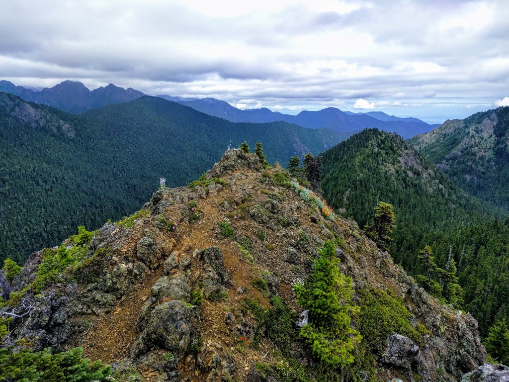

Valhalla Peak is a modest summit located in the Olympic National Forest and can be reached via the Tunnel Creek trailhead or via Dosewallips Road. The stats on this entry reflect the hike from Tunnel Creek. Starting from the Dosewallips will cut your hike by about a mile, but add over 2,000 feet of elevation gain to your day.
Valhalla Peak

-
 Length
- 8.5 miles, roundtrip
-
 Elevation Gain
- 3,150 feet
-
 Highest Point
- 5,300 feet
Valhalla Peak is a modest summit located in the Olympic National Forest and can be reached via the Tunnel Creek Trailhead or via Dosewallips Road.
Continue reading
Hiking Valhalla Peak
Valhalla Peak
Map & Directions
 Trailhead
Before You Go
Parking Pass/Entry Fee
NoneWTA Pro Tip: Save a copy of our directions before you leave! App-based driving directions aren't always accurate and data connections may be unreliable as you drive to the trailhead.
Getting There
Tunnel Creek trailhead
The pin on the map will take you to the Tunnel Creek trailhead.
11 miles north of Brinnon (just after the Quilcene River Bridge), head west on Penny Creek Road from US 101 for 1.5 miles. Slight left onto Big Quilcene River Road/NF-27 for 3 miles. Proceed 6.8 miles to the end of the road, where there is a flat parking area. No amenities at the trailhead.
Dosewallips Road trailhead
The Dosewallips Road trailhead can be found at the coordinates: 47.74164, -123.04960
Head west for 9.0 miles on the Dosewallips Road from US 101 at the north end of Brinnon. Park on the north side of the road at an unmarked flat parking area large enough for about 6 vehicles. The trailhead is about 0.1 miles west of the parking pad. No amenities at the trailhead.