Trails for everyone, forever

Home Go Hiking Hiking Guide Tolt Pipeline - Sammamish River Loop

Alert: On Oct. 1 the federal government began a partial shutdown that will impact National Parks, National Wildlife Refuges and U.S. Forest Service lands in Washington. Here's the latest information we have for hikers and campers


Tolt Pipeline - Sammamish River Loop

Puget Sound and Islands > Seattle-Tacoma Area
47.7582, -122.2087 Map & Directions
Length
10.0 miles, roundtrip
Elevation Gain
900 feet
Highest Point
450 feet
Calculated Difficulty About Calculated Difficulty
Moderate
The Sammamish River. Photo by Chris Burke. Full-size image
  • Dogs allowed on leash
  • Fall foliage
  • Good for kids
  • Mountain views
  • Rivers
  • Wildlife

Parking Pass/Entry Fee

None
Saved to My Backpack

This 10-mile loop hike through various parks in the suburbs northeast of Lake Washington is close in, always open and a trail for most of the way. Continue reading

Rating
4.00 out of 5

Hiking Tolt Pipeline - Sammamish River Loop

The Park at Bothell Landing, which has plenty of parking, is a good place to start. Bothell also has several bus lines serving the area, as does Woodinville. The instructions make it seem like a complicated route, but it's fairly simple and straightforward on the ground, especially if you're using any sort of navigation aid.

Begin by crossing the pedestrian bridge over the Sammamish River at the east end of the park. Turn right on the paved Sammamish River trail and walk a short mile to Blyth Park. Continue through the parking lot and onto a gravel road, closed to vehicles. Where the road bends right, go straight ahead into the forest, aiming toward a disc golf tee. Go uphill into the woods, staying on the main path, and eventually start switchbacking up through the forest. After a half mile or so, reach the Tolt Pipeline clearing, which also has power lines.

Cross the swath diagonally and re-enter the woods. Keep left at a couple of intersections and go up more switchbacks. About two miles from the start, return to the pipeline and reach the top of the hill. There is a bench here to rest and admire the view west; the Olympics are visible on a clear day. The route from here is obvious — follow the pipeline clearing downhill to the east. The path ends at a housing development. Turn left and go uphill on a road, then turn right on another road and reach Juanita-Woodinville Way NE. Go left and cross the bridge over I-405.

Turn right on 116th Ave NE and walk a short distance to the resumption of the Tolt Pipeline trail. Walk west, crossing a few roads and going over a hill. From the crest of the hill, before you drop into the Sammamish River Valley, you can see the Cascades. On the way down to the valley, you can also see the one — and only — view of the Tolt Pipeline itself.

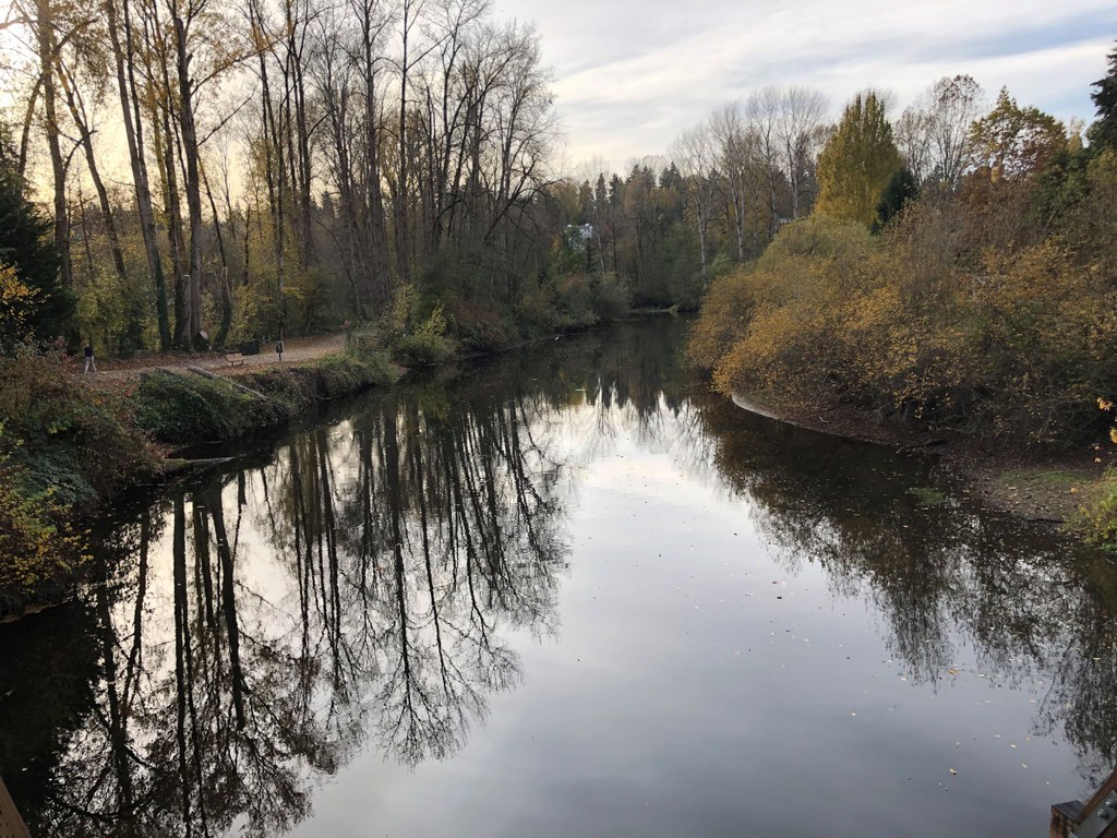
Near the bottom, cross the Eastrail route, currently closed. Go a little farther, cross SR 202, and walk a paved path past some wineries and down to the Sammamish River. Meet the Sammamish River trail here and head left, north. You can walk this paved trail along the peaceful Sammamish River all the way back to the Park at Bothell Landing. Stay out of the way of the many bicycles!

Lunch is available at many restaurants in Woodinville, which is just off the route a couple of miles before the end. A few opportunities for side trips exist. Blyth Park demands exploration. Near the end of the route, after crossing under I-405, you can take the North Creek Trail into the UW Bothell campus.

Toilet Information

  • Toilet at trailhead
  • Toilet has running water

More information about toilets

Hike Description Written by
Chris Burke, WTA Correspondent

Tolt Pipeline - Sammamish River Loop

Map & Directions

Trailhead
Co-ordinates: 47.7582, -122.2087 Open in Google Maps

Before You Go

See weather forecast

Parking Pass/Entry Fee

None

WTA Pro Tip: Save a copy of our directions before you leave! App-based driving directions aren't always accurate and data connections may be unreliable as you drive to the trailhead.

Getting There

The Park at Bothell Landing is about a mile west from the SR 522/I-405 interchange in Bothell on SR 522 — the turn-off for the park is a few hundred feet to the west of the junction with Bothell Way NE.

To get to Blyth Park, take exit 22 heading north on I-405. Take a right onto Juanita Woodinville Way NE, then take an immediate left to stay on Juanita Woodinville Way NE. Continue on this road for another 1 mile. Turn left onto NE Woodinville Way, and continue for 2 miles (the road will become East Riverside Dr at some point) — the parking lot will be at the end of the road. 

TAKE TRANSIT

Both King County Metro routes 372 and 522 stop at Bothell Way NE & Bothell Way NE, which drop you off right at the Park at Bothell Landing.

Route 372 also stops at Bothell Way NE & 96th Ave NE, which is just a 0.4-mile hike along the Sammamish River and Burke Gilman trails (crossing the Sammamish River) to Blyth Park. 

More Hike Details

Trailhead

Puget Sound and Islands > Seattle-Tacoma Area

Cities of Bothell and Woodinville, King County, Seattle Public Utilities

You can improve or add to this guidebook entry!

Tolt Pipeline - Sammamish River Loop

1 Trip Report

Hiked here recently?

Submit a trip report!
 
Trip Reports