
To get to the start of this trail, head to the yellow gate just beyond the cul-de-sac at the end of the pavement on West Fork road. Pass around the gate and continue walking up the road as it curves to the left and crosses the river; from there, follow the road a short distance until it begins to climb uphill.
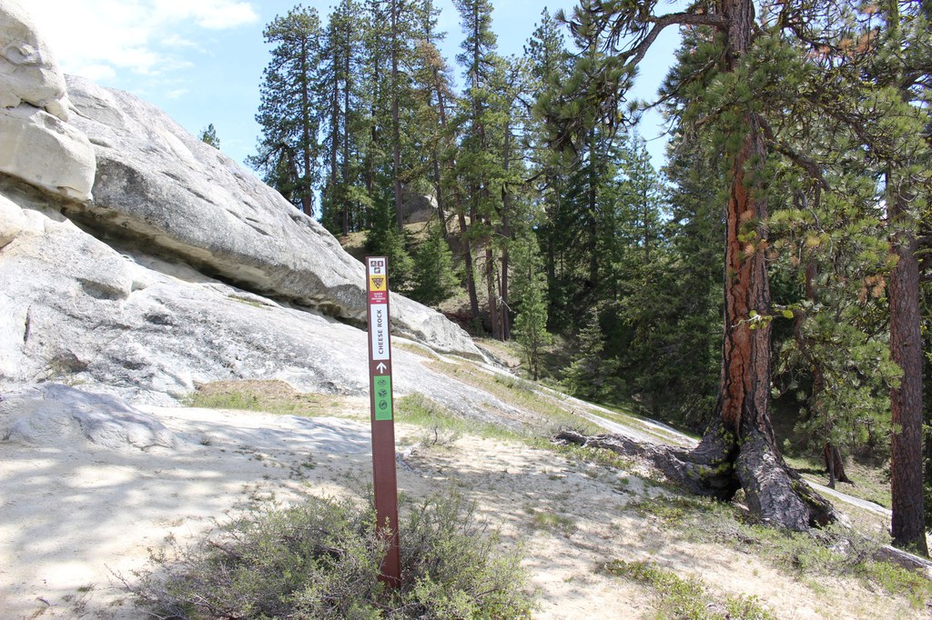
The start of the Cheese Rock trail is just to the left of the road as it begins uphill, and is marked with a signpost. You’ll know you’re on the right track as you cross a footbridge and begin the singletrack that winds its way through the trees and up the hillside.
About a quarter of a mile in, you’ll reach a trail marker that indicates either a left turn or an option to continue straight ahead. Take the left turn option and switchback your way up the hill until you emerge from the trees and onto a large sandstone face.
Don’t be alarmed if the trail seems to disappear at this point! Once you’re on the enormous sandstone slab, work your way uphill, continuing along the upper edge of the rock as you head to the top.
You can absolutely choose your own adventure as you make your way up the rock, but staying close to the upper edge will ensure you don’t run into steep ripples in the rock face that can be difficult to climb over.
As you hike, be mindful of the exposed rock edge. Keep pets on a leash and make sure young children are within reach.
Once you’re most of the way up the sandstone slab, you’ll notice another trail marker to guide you. The top of the hill has multiple sandstone outcrops that make for beautiful spots to take in the views of the Teanaway. Beware that there are steep cliffs and no barriers to keep users away from steep edges.
The aptly named Cheese Rock itself is just past the top of the rocky slab, and is easily recognizable by its pockmarked surface, giving it the appearance of Swiss cheese. (Please do not climb on, spray paint, scratch markings, or otherwise damage the rock surface!)
At this point, you can either retrace your path back to the trailhead or continue on to make a 2.2 mile loop. The loop trail continues directly behind Cheese Rock. Follow the trail markers as you descend a wide, sandy trail for 0.3 mile.
After 0.3 mile, the trail will end on a dirt road. Turn right onto the road and follow the signs for a mile as the road descends and eventually passes where you first split off to take the footbridge and single-track to the top of the rock. Continue along the road across the river and back to the trailhead.
Note on social trails
As you hike, you’ll notice intersections with old road beds and social trails in various stages of being decommissioned. The Teanaway Community Forest is saturated with user built trails that cut through wildlife habitat. Please do your part to preserve this beautiful landscape by staying on the established trails.
 Trailhead