

From the West Fork trailhead, head to the yellow gate at the end of the paved cul de sac on West Fork Teanaway Road, then continue past the gate and follow the road as it crosses the river. Shortly past the bridge, you’ll see the start of the Big Sandy Trail on the right side of the road.
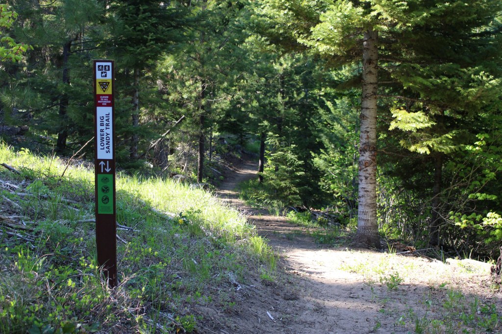
Soon after starting, you’ll come to a fork where the trail splits. Take the left fork labeled “Lower Big Sandy Trail” and continue on your hike.
Continue on the Lower Big Sandy trail for 1.7 miles. You’ll reach an intersection on an old logging road. Cross the road and continue on the trail, following the signs that now read “Upper Big Sandy” trail. This trail continues winding up the ridge for 4.3 miles. The trail ends at the top of the ridge, where you can connect into a larger network of old roads and choose your own adventure, or turn around and make your way back down to the trailhead.
Note: While all the trails in the Teanaway are multi-use, this trail is popular with mountain bikers and experiences more bike traffic than other trails. Please remain aware of oncoming bike traffic while on this trail.
Note on social trails
As you hike, you’ll notice intersections with old road beds and social trails in various stages of being decommissioned. The Teanaway Community Forest is saturated with user built trails that cut through wildlife habitat. Please do your part to preserve this beautiful landscape by staying on the established trails.
 Trailhead


