Trails for everyone, forever

Home Go Hiking Hiking Guide Taylor Ridge

Taylor Ridge

Eastern Washington > Okanogan Highlands/Kettle River Range
48.7926, -118.3393 Map & Directions
Length
10.0 miles, one-way
Highest Point
6,150 feet
The quiet Taylor Ridge Trail. Photo by trip reporter RichP. Full-size image
  • Dogs allowed on leash
  • Mountain views
  • Old growth
  • Summits
  • Wildflowers/Meadows

Parking Pass/Entry Fee

None
Saved to My Backpack

This feeder trail for The Kettle Crest is popular with mountain bikers but also makes a great hiking route. Continue reading

Rating
5.00 out of 5

Hiking Taylor Ridge

This feeder trail for the Kettle Crest is known by mountain biking enthusiasts but makes for an excellent hiking route as well. The access for the upper section of the trail is 6.5 miles up NF-6113 (Bulldog Cabin Rd) at the 5050-foot level after turning south off of Boulder Creek Road.

This trailhead is marked only with a signless post and parking for a few cars is available just across the road at a wide spot. This point marks the division between the upper and lower sections of The Taylor Ridge Trail which begins at Deer Creek Summit and continues to its lower eastern terminus, Tom Creek on Boulder Creek Road. 

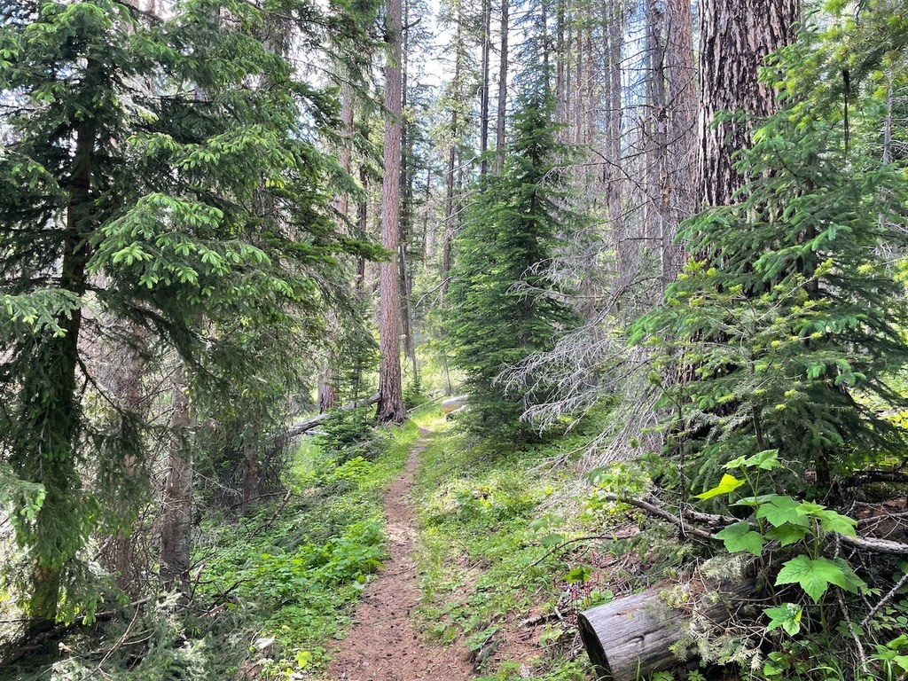
There are some nicely forested sections of the trail before arriving to burned areas higher up. the highpoint of Taylor Ridge, 6190 feet which is an old lookout site just above the trail at the 2.6 mile point and has sweeping territorial views over the area. The single track joins an old road from here and continues northward to connect to The Kettle Crest and Deer Creek Summit. 

Toilet Information

  • No toilet at trailhead

More information about toilets

Hike Description Written by
Multiple authors contributed to this report, WTA Community

Taylor Ridge

Map & Directions

Trailhead
Co-ordinates: 48.7926, -118.3393 Open in Google Maps

Before You Go

See weather forecast

Parking Pass/Entry Fee

None

WTA Pro Tip: Save a copy of our directions before you leave! App-based driving directions aren't always accurate and data connections may be unreliable as you drive to the trailhead.

Getting There

From 19.6 miles north of Kettle Falls on Highway 395, turn left (west) on Boulder-Deer Creek Rd (marked Curlew). Continue 6.8 miles to FR 6113 and turn left (south). Drive for 6.6 miles to the trailhead, such as it is.

More Hike Details

Trailhead

Eastern Washington > Okanogan Highlands/Kettle River Range

Taylor Ridge (#74)

Colville National Forest, Sullivan Lake Ranger District

You can improve or add to this guidebook entry!

Taylor Ridge

1 Trip Report

Hiked here recently?

Submit a trip report!
 
Loading trip reports...
Trip Reports