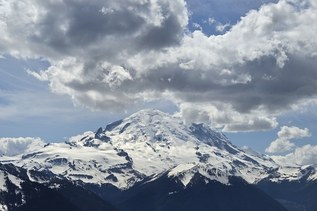
Trail closed: The Tahoma Creek Trail is washed out, difficult to navigate and travels through a hazardous area.
Tahoma Creek

Trail closed: The Tahoma Creek Trail is washed out, difficult to navigate and travels through a hazardous area.
Continue reading
Hiking Tahoma Creek

WTA worked here in 2011!
Tahoma Creek
Map & Directions
 Trailhead
Before You Go
WTA Pro Tip: Save a copy of our directions before you leave! App-based driving directions aren't always accurate and data connections may be unreliable as you drive to the trailhead.