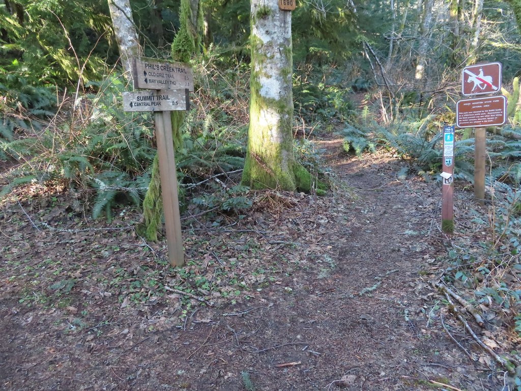

Take a shortcut to the summit of Squak Mountain from Phil's Creek Trail.
Summit Trail

Parking Pass/Entry Fee
Discover Pass
Take a shortcut to the summit of Squak Mountain from Phil's Creek Trail.
Continue reading
Hiking Summit Trail
Summit Trail
Map & Directions
 Trailhead
Before You Go
Parking Pass/Entry Fee
Discover PassWTA Pro Tip: Save a copy of our directions before you leave! App-based driving directions aren't always accurate and data connections may be unreliable as you drive to the trailhead.


