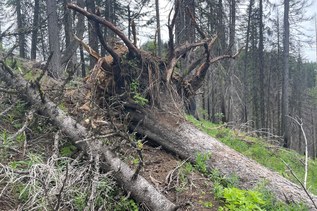

Hike the old road from Barlow Pass to Monte Cristo. Cross the big log over the Sauk River at the site of the bridge washout at about the one mile point. From here, the road up to Monte Cristo and the nearby campground with six sites is an easy three mile walk with good views of the peaks across and further up the valley as you go.
Just past the turnoff for the campsite, continue up the road and cross the Sauk River on a footbridge and enter the town site. Cross the big clearing by the railroad turntable and find the trail to Poodle Dog Pass and Silver Lake and Twin Lakes on the other side. After almost 2 miles of steady switchbacks on steep, rocky trail, reach Poodle Dog Pass.
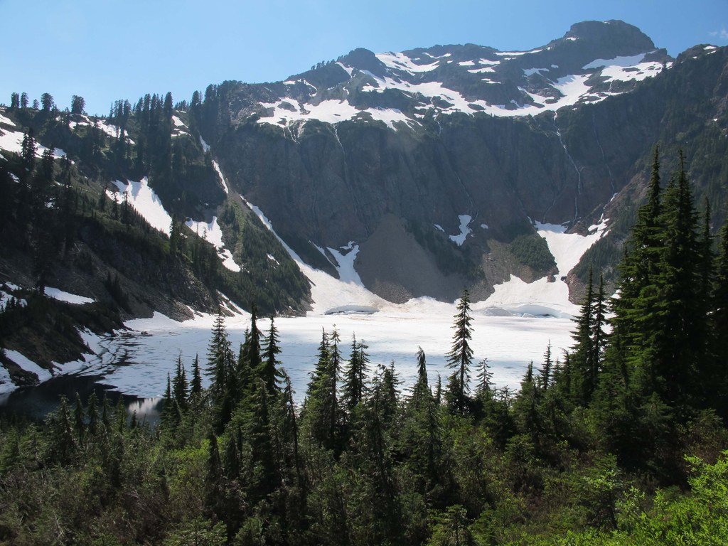
Your destination is a quarter mile beyond the pass. The trail descends to the lake near the outlet. Take a right turn at a sign post for a privy and follow the trail down past camp sites to the lake shore at the outlet. More camp sites on the other side the outlet and the actual location of the privy.
Silver Lake - Monte Cristo

-
 Length
- 13.0 miles, roundtrip
-
 Elevation Gain
- 3,791 feet
-
 Highest Point
- 4,405 feet
Visit the remains of an old mining town in a basin surrounded by high peaks. Climb to Silver Lake nestled under the steep side of Silvertip Peak with good camping and good views of surrounding peaks.
Continue reading
Hiking Silver Lake - Monte Cristo
Map & Directions
 Trailhead
Before You Go
Parking Pass/Entry Fee
Northwest Forest PassWTA Pro Tip: Save a copy of our directions before you leave! App-based driving directions aren't always accurate and data connections may be unreliable as you drive to the trailhead.
Getting There
Drive east on Hwy 92 from Everett to Granite Falls. Proceed through town and turn left on the Mountain Loop Highway. Continue past the ranger station at Verlot and continue another thirty minutes to Barlow Pass where Hwy 20 turns to gravel. The gated road to Monte Cristo is on the right.