Trails for everyone, forever

Home Go Hiking Hiking Guide Shady Glen

Shady Glen

Southwest Washington > Columbia River Gorge - OR
45.6402, -121.9250 Map & Directions
Length
0.4 miles, roundtrip
Elevation Gain
227 feet
Highest Point
201 feet
Calculated Difficulty About Calculated Difficulty
Easy
Shady Glen follows Eagle Creek for a short while before traversing the forest above the creek. Photo by Anna Roth. Full-size image
  • Dogs allowed on leash
  • Good for kids
  • Rivers
  • Wildflowers/Meadows

Parking Pass/Entry Fee

Northwest Forest Pass
Saved to My Backpack

This short little loop trail is a sweet walk that enhances a camping trip, picnic, or hike at the Eagle Creek Recreation area. Continue reading

Rating
0.00 out of 5

(0 votes) Log in to rate

Hiking Shady Glen

From the picnic area at Eagle Creek, head to the Eagle Creek Bridge, which offers a nice view of the wide mouth of Eagle Creek as it heads toward the Columbia River. Pause on the bridge and enjoy the view up and downriver before crossing and at the T intersection on the other side, turning left.

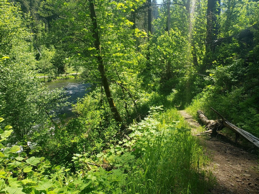
What looks like a footpath down to the river turns out to be the Shady Glen trail, a short loop that passes alongside Eagle Creek before making a single switchback and heading back the way you came, albeit with a little bit more of a climb.

Away from the creek, the trail is a bit of a green tunnel as it passes through the lush understory of this forested area. In a very short time, you’ll be back at another intersection; this one the Gorge Trail. Taking a left here puts you on track to visit Wauna Viewpoint (1.5 miles away).

If extending your hike isn’t in your agenda for the day, turn right. You’ll walk downhill, switchback once, and return to the Eagle Creek Bridge, where you started your hike.

Toilet Information

  • Toilet at trailhead
  • Accessible toilet
  • Toilet has running water

More information about toilets

Hike Description Written by
Anna Roth, WTA Correspondent

Shady Glen

Map & Directions

Trailhead
Co-ordinates: 45.6402, -121.9250 Open in Google Maps

Before You Go

See weather forecast

Parking Pass/Entry Fee

Northwest Forest Pass

WTA Pro Tip: Save a copy of our directions before you leave! App-based driving directions aren't always accurate and data connections may be unreliable as you drive to the trailhead.

Getting There

From Portland or Vancouver, drive east on I-84 to exit 41, just past the interstate tunnel (it's a good idea to get into the righthand lane BEFORE entering the tunnel). Drive to the end of the ramp, then take a right and park in the Eagle Creek Recreation Area, the first lot you get to. The Buck Point trail starts off of Gorge 400, between sites 5 and 6 in the campground. Please do not park in the campground unless you are a paying camper.

From Cascade Locks, drive west on Interstate 84 for about 3 miles to Bonneville Dam exit #40. Turn left at the stop sign, go under the interstate and then turn immediately left onto the eastbound freeway entrance. Travel east approximately 1 mile on Interstate 84 to exit #41 which is just past the interstate tunnel, so be in the right hand lane before you enter the tunnel. Take a right at the end of the off ramp and park in the first parking lot you come to. The Buck Point trail starts off of Gorge 400, between sites 5 and 6 in the campground. Please do not park in the campground unless you are a paying camper.

More Hike Details

Trailhead

Southwest Washington > Columbia River Gorge - OR

Shady Glen (#402A)

Columbia River Gorge National Scenic Area

You can improve or add to this guidebook entry!

Shady Glen

1 Trip Report

Hiked here recently?

Submit a trip report!
 
Loading trip reports...
Trip Reports