Length
 Elevation Gain
 Highest Point



S.báliuqʷ Interpretive Trail offers an opportunity to explore Concrete, a small town along Highway 20, also known as the Northern Cascades Highway, that might otherwise escape the traveler’s attention. The trail was previously known as the Lower Baker Loop, but is now known as S.báliuqʷ, pronounced "sa-bal-ock;" it honors a native village that was located near the confluence of the Baker River and one of several villages along the riverway.
Start from the Concrete Community Center, right off the Northern Cascades Highway. From the parking lot, head toward the Community Center and bear right on a sidewalk that runs parallel to the highway. Cross Dillard Way and turn left to walk up the hill. At 0.2 mile and just before reaching the first building, turn right for the aforementioned short, wooded loop that runs along the Baker River and honors a nearby, historic native village.
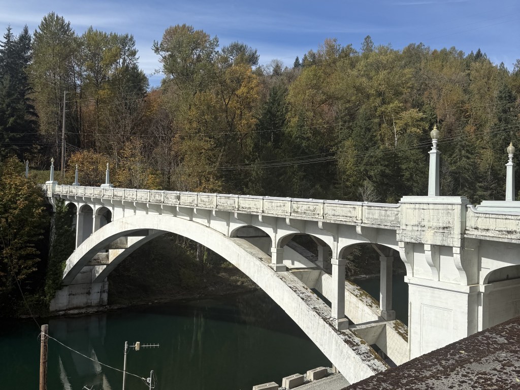
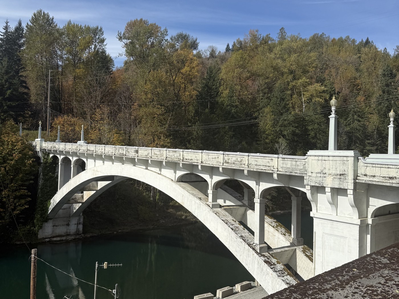
Finish the loop and turn right onto Dillard Way, following the sidewalk to the Baker River Bridge (also called the Henry Thompson Bridge) at 0.4 mile. Enjoy lovely views up and down the Baker River. Cross the bridge and turn right to follow the roadway to the fish trap where an observation deck offers a view to salmon conservation and restoration work with interpretive signs.
Then, continue walking alongside East Main Street to the Baker River Clubhouse and Visitor Center where tours are offered seasonally and the facility has a small parking lot with an EV charging space, a disabled parking space plus public bathrooms, water foundation, picnic tables and a poop station. Note: The Baker River Clubhouse Visitor Center and its amenities are open seasonally.
Retrace the route to return to the parking lot at the Community Center.
WTA Pro Tip: Public restrooms are available at the end of the trail at the Baker River Clubhouse and Visitors Center. The restrooms are open 10 a.m. – 5 p.m. every Wed – Sunday; May - Sept only. Otherwise, the closest public bathroom is at the Shell Station just west of the community center on Highway 20.
 Trailhead