Trails for everyone, forever

Home Go Hiking Hiking Guide Roundup Park

Roundup Park

Eastern Washington > Okanogan Highlands/Kettle River Range
48.3541, -119.5956 Map & Directions
Length
1.6 miles of trails
Elevation Gain
10 feet
Highest Point
775 feet
Walking through the park in winter. Photo by Austin Smith. Full-size image
  • Dogs allowed on leash
  • Good for kids
  • Rivers
  • Wildlife

Parking Pass/Entry Fee

None
Saved to My Backpack

This short loop trail visits a riparian island rich with birdlife and beavers in this forgotten corner of the Okanogan River. Continue reading

Rating
0.00 out of 5

(0 votes) Log in to rate

Hiking Roundup Park

The Okanogan River is a proud river with many sandbars and islands harboring much native wildlife. In the mid-twentieth century, engineers changed water flows through building municipal sewage facilities. This land sat untended and stagnant from lack of water flow for many years. Thanks to efforts of the Colville Confederation of tribes, Omak City Parks and the hard work of many local high school students, this fifty five acre park brings a natural flow back to this forgotten island. 

From your car, walk a couple hundred yards past the treatment facility. Very quickly, there is evidence of the wildlife that is returning to this area. Beaver activity is evident all around as are many bald eagles roosting along the water’s edge. Deer, muskrats and many bird species either nest or pass through while migrating. 

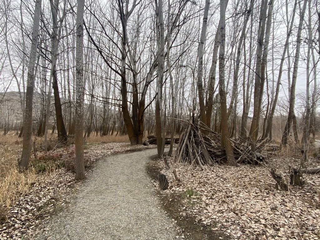
The trail is one big, elongated loop with numerous short user trails off to the sides. Usually, these lead to a small sandy beach or a marshy area perfect for wildlife viewing. The noise of the city is not too far away, although it fades dramatically on the eastern side of the island. 

This is a perfect city respite to let your dog roam, your children marvel at the beaver activity or just get away for a brief nature-refresh. 

Toilet Information

  • No toilet at trailhead

More information about toilets

Wheelchair Accessibility

This trail is gravel and can be muddy in spots.

Hike Description Written by
Austin Smith, WTA Correspondent

Roundup Park

Map & Directions

Trailhead
Co-ordinates: 48.3541, -119.5956 Open in Google Maps

Before You Go

See weather forecast

Parking Pass/Entry Fee

None

WTA Pro Tip: Save a copy of our directions before you leave! App-based driving directions aren't always accurate and data connections may be unreliable as you drive to the trailhead.

Getting There

From Okanogan, drive south on SR 215 out of town. At the south end of town, you will meet SR 20. Turn right to go north and towards Omak. (Going straight will take you south on Highway 20.)

Go 1 block and turn right onto 1st Avenue S. Go 1 block and bear left onto Island Avenue SW. You will cross a small waterway; the parking is immediately on your right.

More Hike Details

Trailhead

Eastern Washington > Okanogan Highlands/Kettle River Range

City of Omak

You can improve or add to this guidebook entry!

Roundup Park

1 Trip Report

Hiked here recently?

Submit a trip report!
 
Loading trip reports...
Trip Reports