Trails for everyone, forever

Home Go Hiking Hiking Guide Round Butte

Alert: On Oct. 1 the federal government began a partial shutdown that will impact National Parks, National Wildlife Refuges and U.S. Forest Service lands in Washington. Here's the latest information we have for hikers and campers


Round Butte

Eastern Washington > Palouse and Blue Mountains
46.0020, -117.9024 Map & Directions
Length
6.0 miles, roundtrip
Highest Point
5,720 feet
Views along the Route Butte trail at sunset. Photo by trip reporter Pentii. Full-size image
  • Mountain views
  • Ridges/passes
  • Wildflowers/Meadows
Saved to My Backpack

Try this ridgeline hike on the Round Butte trail, featuring open meadows, excellent views of the surrounding canyons, and plenty of solitude. Continue reading

Rating
5.00 out of 5

Hiking Round Butte

This is an out and back on Round Butte Trail that can extend as far as you like.It's delightfully moderate, staying flattish almost until its endpoint at the Wenaha River.

The Shoofly trail junction is 2.1 miles in, while the titular  Round Butte is about 3 miles in, though there is no developed trail to the top of Round Butte. 

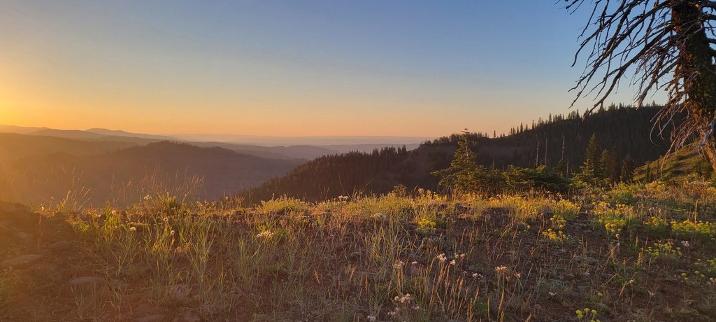
An intersection with the Trapper Ridge trail is 5.5 miles in and past the Trapper Ridge junction, the trail descends down toward the Wenaha River. Until then, the trail follows the ridgeline and has fairly little elevation change.

Toilet Information

  • No toilet at trailhead

More information about toilets

Hike Description Written by
Multiple authors contributed to this report, WTA Community

Round Butte

Map & Directions

Trailhead
Co-ordinates: 46.0020, -117.9024 Open in Google Maps

Before You Go

See weather forecast

WTA Pro Tip: Save a copy of our directions before you leave! App-based driving directions aren't always accurate and data connections may be unreliable as you drive to the trailhead.

Getting There

From Walla Walla take Mill Creek Road to Tiger Creek, then turn right to climb up FS Road 65. Mill Creek Road is paved, and FS Road 65 is well graded gravel. When you reach FS Road 64 (Kendall Skyline Road), turn left and head about 4 more miles to the trailhead. FS Road 64 immediately narrows to a single lane and gets pretty rutted. 

From Dayton take North Touchet Road toward Bluewood Ski Resort, then continue past Bluewood on FS Road 64 (Kendall Skyline Road) for about 9 miles. FS Road starts as well graded gravel and gradually narrows to a rocky single lane.

Both approaches are comparable in length and ruggedness. High clearance and AWD is helpful. Be cautious of rain, mud, and snow. Snow can last on FS Road 64 until July. Vistas on Kendall Skyline Road can be very stunning, especially heading north from the trailhead.  The trailhead is marked as Indian camp on some maps, Round Butte on others. 

The last few hundred feet to the trailhead can be muddy and rutted, ending in a small roundabout. If the final stretch looks impassible, it is possible to park at a large turnout beside FS Road 64 and walk into the trailhead. The trailhead signboard has been knocked down, and it's not clear if the trailhead is still being maintained.

More Hike Details

Trailhead

Eastern Washington > Palouse and Blue Mountains

Umatilla National Forest, Pomeroy Ranger District

You can improve or add to this guidebook entry!

Round Butte

4 Trip Reports

Hiked here recently?

Submit a trip report!
 
Loading trip reports...
Trip Reports