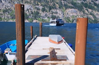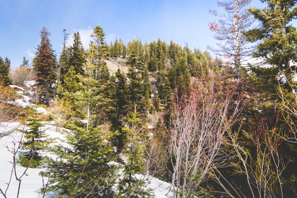

Roughouse Mountain is the unofficial name for this peak in southwestern Chelan County. This relatively easy-to-climb peak is great for beginners or for those looking for a non-technical snowshoe in the off-season.
Roughhouse Mountain

-
 Highest Point
- 4,760 feet
Roughouse Mountain is the unofficial name for this peak in southwestern Chelan County. This relatively easy-to-climb peak is great for beginners or for those looking for non-technical snowshoeing in the off-season.
Continue reading
Hiking Roughhouse Mountain
Roughhouse Mountain
Map & Directions
 Trailhead
Before You Go
WTA Pro Tip: Save a copy of our directions before you leave! App-based driving directions aren't always accurate and data connections may be unreliable as you drive to the trailhead.