Trails for everyone, forever

Home Go Hiking Hiking Guide Roslyn Urban Forest - Slag Pile Loop

Roslyn Urban Forest - Slag Pile Loop

Snoqualmie Region > Salmon La Sac/Teanaway
47.2233, -120.9912 Map & Directions
Length
0.58 miles, roundtrip
Elevation Gain
74 feet
Highest Point
2,303 feet
Calculated Difficulty About Calculated Difficulty
Easy
Trail sign at the Slag Pile Loop. Photo by Jaime Weber. Full-size image
  • Good for kids
  • Mountain views
  • Wildflowers/Meadows
  • Wildlife

Parking Pass/Entry Fee

None
Saved to My Backpack

Take a short loop from the Coal Mines Trail through the pine forest. Continue reading

Rating
0.00 out of 5

(0 votes) Log in to rate

Hiking Roslyn Urban Forest - Slag Pile Loop

From the parking area, head east on the Coal Mines Trail. You'll reach an information sign for the Roslyn Urban Forest almost immediately, take a left to begin this loop. Before you begin though, take a moment to enter the community gazebo behind the sign to learn more about the language and ancestral lands of the Pshwánapam (known today as the Upper Yakama or Kittitas).

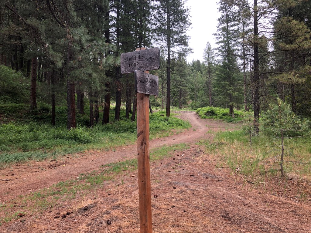
Head north up the small rise and walk past remnants of a building foundation. Keep to the main path on an old road and after 0.2 miles, take a right at the signed intersection for the loop. 

For the next 0.2 miles enjoy a more forested track before emerging again onto the graveled Whitehead Drive, taking two quick rights to re-join the Coal Mines Trail and head back to the trailhead.

Toilet Information

  • No toilet at trailhead

More information about toilets

Hike Description Written by
Jaime Weber, WTA Correspondent

Roslyn Urban Forest - Slag Pile Loop

Map & Directions

Trailhead
Co-ordinates: 47.2233, -120.9912 Open in Google Maps

Before You Go

See weather forecast

Parking Pass/Entry Fee

None

WTA Pro Tip: Save a copy of our directions before you leave! App-based driving directions aren't always accurate and data connections may be unreliable as you drive to the trailhead.

Getting There

From I-90, take exit 80 to Roslyn. As you enter town, turn right on E. Dakota Ave. and continue about two blocks to where the paved road either turns left or right onto a dirt road named Whitehead Road. There is a shoulder to park on the road that goes left.

More Hike Details

Trailhead

Snoqualmie Region > Salmon La Sac/Teanaway

Nature Conservancy

You can improve or add to this guidebook entry!

Roslyn Urban Forest - Slag Pile Loop

1 Trip Report

Hiked here recently?

Submit a trip report!
 
Loading trip reports...
Trip Reports