Trails for everyone, forever

Home Go Hiking Hiking Guide Riser Lake Loop

Alert: On Oct. 1 the federal government began a partial shutdown that will impact National Parks, National Wildlife Refuges and U.S. Forest Service lands in Washington. Here's the latest information we have for hikers and campers


Riser Lake Loop

North Cascades > Methow/Sawtooth
48.5065, -120.2204 Map & Directions
Length
3.75 miles, roundtrip
Elevation Gain
403 feet
Highest Point
2,603 feet
Calculated Difficulty About Calculated Difficulty
Easy/Moderate
Photo by trip reporter austineats. Full-size image
  • Dogs allowed on leash
  • Good for kids
  • Wildflowers/Meadows
  • Wildlife

Parking Pass/Entry Fee

Discover Pass, Sno-Parks Permit
Saved to My Backpack

Riser Lake is a short hike just outside of Winthrop that is accessible any time of the year. Enjoy the shrub-steppe and the views of the hills surrounding the Methow Valley. Continue reading

Rating
0.00 out of 5

(0 votes) Log in to rate

Hiking Riser Lake Loop

The Methow Valley is graced with several different ecosystems. The shrub-steppe community is beautifully represented on this casual stroll. Much of the hike is through undisturbed sage and bitterbrush lands. Some of it has a history of ranching and agriculture gradually being consumed back into the natural landscape.

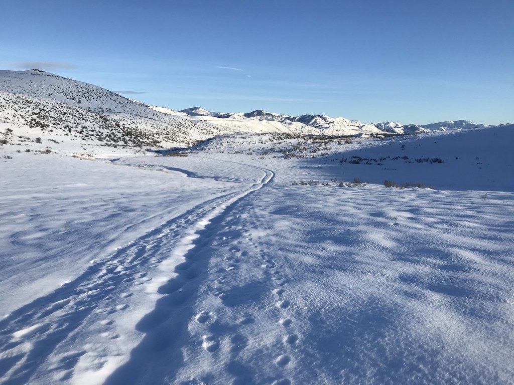
From the parking lot this loop may naturally be hiked in either direction. Venturing out counterclockwise you will reach the lake more quickly. Seasonal change are great to watch from this trail as it is accessible year-round. Winter time the trail is easily managed with snowshoes or sturdy boots. Tracks from coyotes, hares, deer and others provide for much discussion and opportunity for study.

Springtime abounds in wildflowers. The arrowleaf balsam root is stunning here! Summertime can be hot  but early mornings provide for great bird watching. Autumn naturally is a great time to view deer getting ready to rut.

Toilet Information

  • Toilet at trailhead
  • Accessible toilet

More information about toilets

Hike Description Written by
Austin Smith, WTA Correspondent

Riser Lake Loop

Map & Directions

Trailhead
Co-ordinates: 48.5065, -120.2204 Open in Google Maps

Before You Go

See weather forecast

Parking Pass/Entry Fee

Discover Pass, Sno-Parks Permit

WTA Pro Tip: Save a copy of our directions before you leave! App-based driving directions aren't always accurate and data connections may be unreliable as you drive to the trailhead.

Getting There

 From Winthrop, follow the West Chewuch Road for 1.5 miles. Turn left on Rendezvous Road. Turn Left on Gunn Ranch Road. 1 mile west on Gunn Ranch Road is a parking lot and toilet.

More Hike Details

Trailhead

North Cascades > Methow/Sawtooth

Washington State Parks

Guidebooks & Maps

Green Trails No. 51SX

You can improve or add to this guidebook entry!

Riser Lake Loop

10 Trip Reports

Hiked here recently?

Submit a trip report!
 
Loading trip reports...
Trip Reports