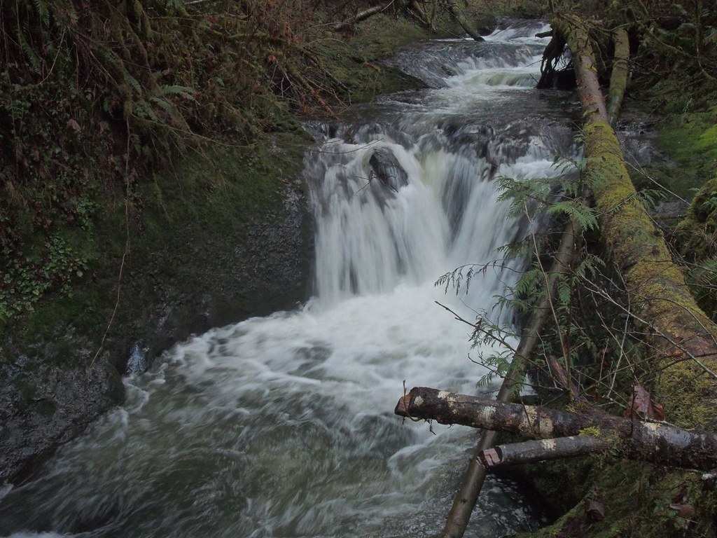

Hike along a gentle grade as it climbs along Porter Creek and crosses it, traveling west on the other side, keeping the road you arrived on in view. As you reach the confluence of Porter Creek and the West Fork of Porter Creek, you also reach the waterfall, your destination.
The trail climbs from the parking area, going up several switchbacks before leveling out about midway up the hillside. The trail then leads back down to the creek, then up again before arriving at the West Fork of Porter Creek.
Following the West Fork until it meets with Porter Creek, hikers are greeted by the falls at the intersection of the two trails. Enjoy the falls before heading back the way you came.
Capitol State Forest - Porter Falls

-
 Length
- 2.2 miles, roundtrip
-
 Elevation Gain
- 450 feet
Hike along a gentle grade as it climbs along Porter Creek and crosses it, traveling west on the other side, keeping the road you arrived on in view. As you reach the confluence of Porter Creek and the West Fork of Porter Creek, you also reach the waterfall, your destination.
Continue reading
Hiking Capitol State Forest - Porter Falls
Capitol State Forest - Porter Falls
Map & Directions
 Trailhead
Before You Go
Parking Pass/Entry Fee
Discover PassWTA Pro Tip: Save a copy of our directions before you leave! App-based driving directions aren't always accurate and data connections may be unreliable as you drive to the trailhead.
Getting There
To reach the trailhead, drive Highway 12 west to Porter Creek Road, which goes right through the small town of Porter. Red's Hop N' Market which also serves as the post office is located near the right turn onto Porter Creek Road. The trailhead is across the road from Porter Creek Campground about 4.5 miles from Highway 12.


