Length
 Elevation Gain
 Highest Point

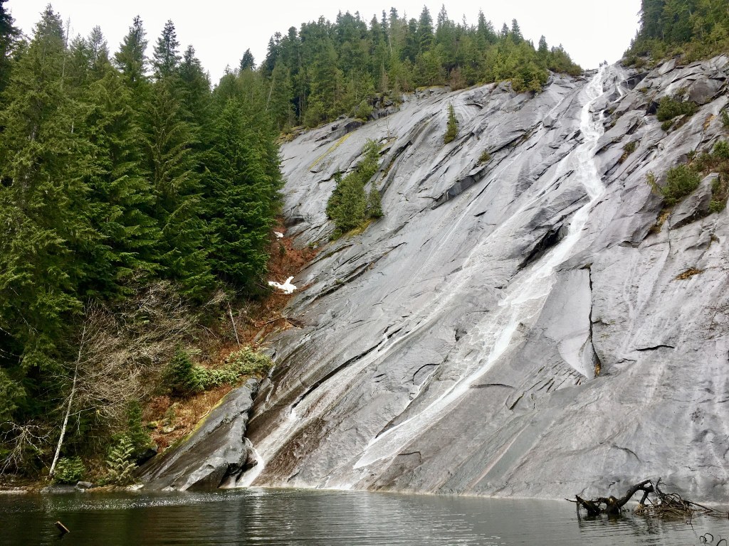
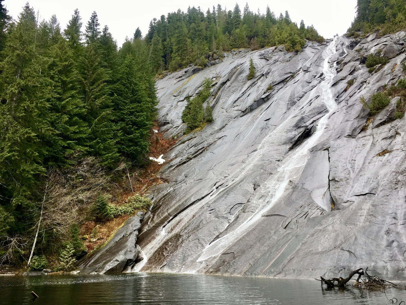


Lose yourself in second-growth forest as you traverse an old logging road that heads into quiet wilderness just an hour from the urban sprawl of Puget Sound. Enjoy the sounds of water rushing and birds singing. Explore mossy boulders and cross multiple burbling creeks on the way to the piece de resistance: a 1,200 foot waterfall that streams into tiny Lipsy Lake before draining to the Taylor River.
In winter of 2025, a landslide carved a deep channel through a streambed at 3.5 miles up the Snoqualmie Lake Trail; this crossing is primitive and may be difficult for those with limited mobility.
The trail takes off from the Snoqualmie Lake Trailhead, 12 miles from the beginning of the Middle Fork Snoqualmie Road. Start from the small parking area and admire the wide Taylor River as you cross a paved bridge. Pass a couple of dispersed camping sites and come to a junction with the Quartz Creek trail branching off to the left at about 0.5 miles. Take the right fork, staying on a relatively flat, rocky trail that heads through quiet forest. Gaze at moss-laden birches, western redcedars, and western hemlocks towering over you. The trail can be brushy when the understory is in bloom, but in winter and early spring it is quite wide – hikers can walk three abreast in some sections.
Along the trail, Taylor River rushes past you, and craggy Garfield Peak plays hide-and-seek through the trees. Near a creek crossing, the forest opens up, offering hikers a glimpse of a spire of Treen Peak. This is one of the few sections of the trail that also offers good sunlight - on a clear day, bask in the warmth and enjoy the view of the surrounding mountains before continuing on your way.
After three miles, come to a large bridge spanning roaring Marten Creek. A bootpath veers off to the left just before the bridge – a mile’s hike up this primitive, overgrown trail takes you to Marten Lake, but your destination of Otter Falls is much more compelling, and easier to access. Take photos at the bridge and then press on, crossing roughly ten drainages before the turn-off for Otter Falls.
A landslide in winter 2025 caused a massive rush of mud and boulders to rip through a formerly meager stream approximately a quarter mile past Marten Creek. Take care in crossing, as the boulders may not be seated securely. A channel 10 feet deep was cut out of the hillside, and the uneven stacks of large rocks may pose a difficulty to those with limited mobility.
With spring’s high waters, some of these crossings can be tricky. Hiking poles are very helpful in high water. Keep in mind that rocks can be loose or slippery with moss – don’t attempt any crossing that you feel uncomfortable tackling.
You’re almost to your destination when you reach a large creek featuring an enormous culvert. Five feet in diameter, the culvert is set into the creek, just downstream from where you will cross the drainage. After crossing this drainage, it’s only about 0.3 miles to the turn off for Otter Falls. The turn is marked by a sign and a well-graded trail that switchbacks up to the lip of Lipsy Lake basin. Turn left into the forest, and begin heading upslope.
After about 500 yards you’ll reach the crown of the slope. Otter Falls is visible through the trees, but the best view doesn’t come until you take a short path down to a small beach, where the imposing falls stream down a huge granite face. Though the water falls 1,200 feet, hikers who make it here can only see about 500 feet of falling water. But that’s more than enough – Otter Falls provides the perfect place to relax and enjoy lunch before heading back out to the trail and your car.

 Trailhead