

Mount Spokane's Trail 140 is the only trail route extending from the base of the mountain near the park entrance all the way to the summit. With several access points and multiple connecting trails, there are numerous ways to enjoy a visit to this trail. The full one-way trail distance of Trail 140 is 6.1 miles, but this hiking guide entry focuses on Upper Trail 140, the segment that connects from Saddle Junction to the summit of Mount Spokane.
Saddle Junction is a major trail intersection within the park, lacking a dedicated trailhead since it is located within the interior of the trail system. The nearest trailhead to Saddle Junction is the Upper Kit Carson Loop Road Trailhead near Cook’s Cabin Woodshed and the CCC cabin. However, this trailhead is only accessible during the warmer months of the year. The most popular winter access trail to Saddle Junction is from the Lower Kit Carson Loop Road (Hairpin Turn) trailhead, which is maintained for year-round access. Parking at the Lower Kit Carson Loop Road requires some extra miles on either Trail 110 or Middle Trail 140 to get to Saddle Junction.
Saddle Junction features a CXT outhouse and bench. In addition to Trail 140, this is also the junction of Trail 110 (leading to both the Lower Kit Carson Loop Road (Hairpin Turn) parking lot and the Park Entrance trailhead), Trail 130/160 (leading to the summits of Mount Kit Carson and Day Mountain), and the Upper Mount Kit Carson Loop Road. To continue on Trail 140, cross the Upper Mount Kit Carson Loop Road and begin climbing toward Mount Spokane's summit.
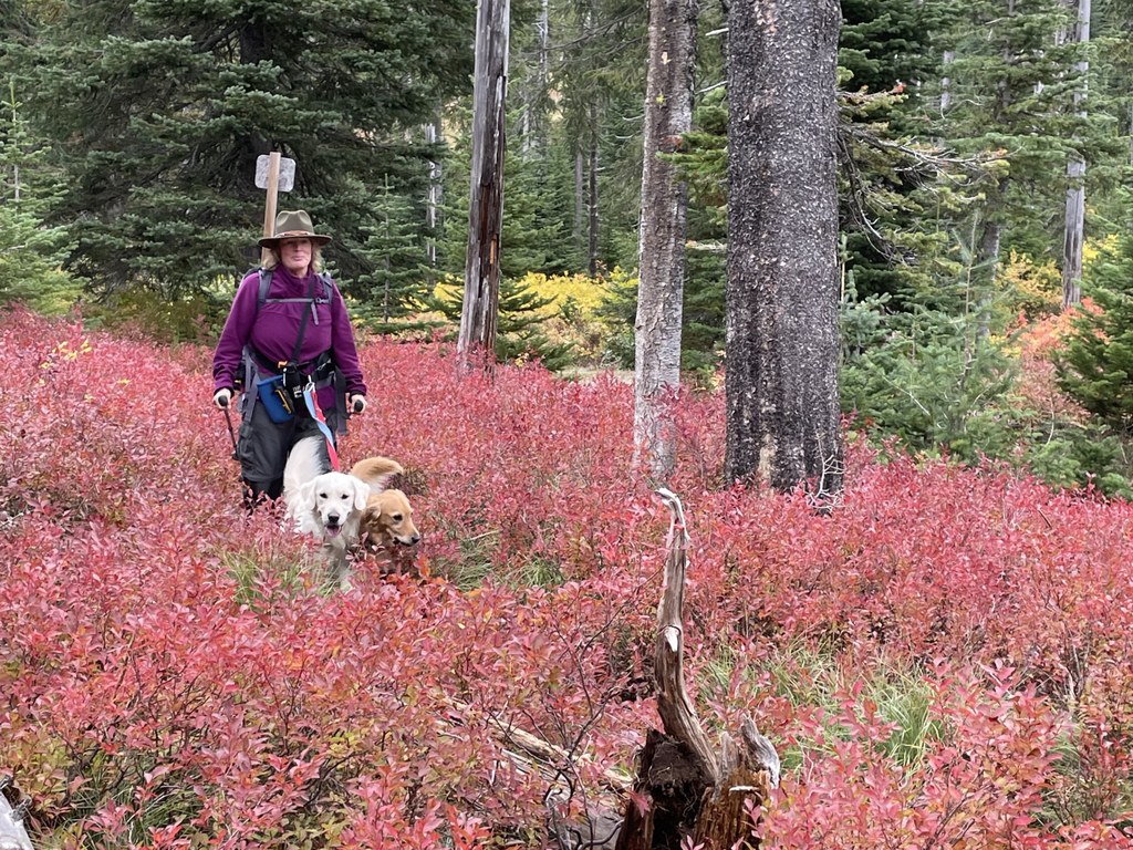
This uppermost section of Trail 140 ascends 967 feet in 2.2 miles. This portion of the trail features some of the best huckleberry patches on the mountain, so it's an especially great trail to visit in August. It also boasts some fantastic fall colors, both in the understory plants and also with plentiful western larch along the trail. As the trail climbs, the surrounding forest begins to include subalpine fir and crosses several rocky slopes. At approximately 0.5 mile beyond Saddle Junction, there's a short connector trail leading to the CCC cabin as a lovely site to take a trailside break (with year-round cabin access, numerous picnic tables, and two CXT toilets available).
Approximately 1 mile from Saddle Junction, the trail reaches the alpine ski area boundary and crosses the ski runs beneath chair 6 several times as it ascends the switchbacks. Winter access to Upper Trail 140 ends at the ski area boundary (the winter snowshoe summit route runs between Bald Knob and the summit, just outside the ski area boundary; snowshoers may also choose to use the snowmobile summit corridor near Cook’s Cabin Woodshed). Trail 140 comes out at the Summit Trailhead just below Vista House. The Summit Trailhead is typically accessible by vehicles from early to mid-June until early October (as snow conditions allow).
Once at the top, don’t miss the opportunity to venture left and up to visit Vista House, a 1934 historic structure built of native stone, where the upper story was the park’s original fire lookout. To the right, the cell and radio towers look uninviting, but from a vantage just beyond the towers, one can view several local lakes from viewing markers installed by a Boy Scout troop. Washington State Parks also recently installed informational kiosks explaining the impacts of the Ice Age Floods on the Spokane Valley, easily viewed from this location on a clear day (summer only).

 Trailhead


