
Access to this trail is via private property. A recreational permit from Hampton Resources, a forest products company, is required (ownership changed as of July of 2021).
-----
Be prepared: this is not an easy hike. More a bootpath than a real trail, the route occasionally disappears in the undergrowth. The trail is also very steep in places, requiring a little help from nearby trees to make your way up. But the views are incredible; just don’t let the short mileage fool you, and plan on spending a few extra hours tackling this one.
From the beginning this trail is a challenge. It’s rough and difficult, traveling through young forest and clearcuts into older stands of cedar and Douglas fir that proved too difficult to log off the steep slopes. The first mile sees the most elevation gain, with the trail eventually leveling out at the first view of Index and the top of Persis.
From there, traverse along the ridgeline, through talus fields and thinning trees before beginning the final leg of the hike. Push upward past two small lakes to the ridge that runs between Persis and Index. Veer left to climb to the top of Persis.
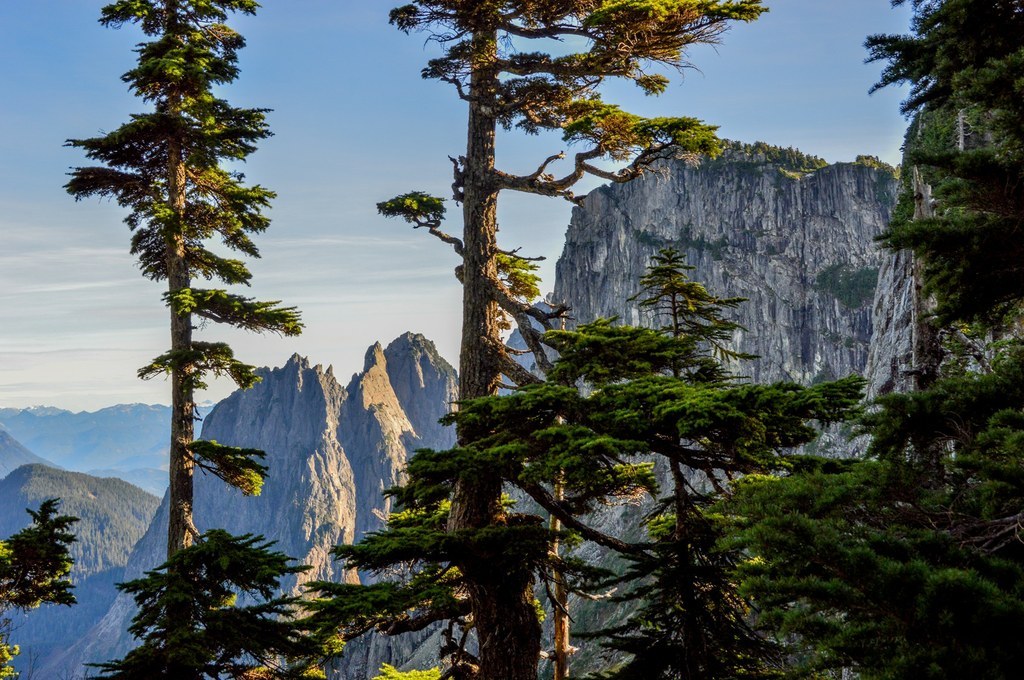
Once you reach the summit of Persis, soak up the expansive views. Neighboring Index is massive. Pick out Baring, Mount Baker, Gunn Peak, and Mount Rainier. The exposed granite of the Index Town Wall is easy to spot above the miniature town of Index, and Heybrook Ridge sits just under Mount Baring. The 360-degree views offer plenty to see before starting the steep slog back down the mountain.
 Trailhead