
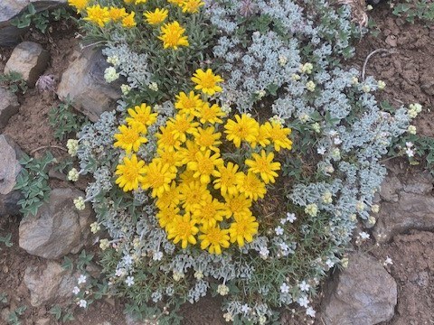

This is true alpine rambling without a grueling approach hike or a white-knuckle dirt road to get to the trailhead. How is this possible? Enjoy an alpine flower show high up in the Wallowas after a fifteen-minute gondola ride rising 3700’ above the valley floor.
Paying to access a hike isn’t everybody’s cup of tea, and for those, there are trails to hike up to this summit. However, for those with limited time or simply wanting a less taxing experience, the Wallowa Lake Tramway is an excellent alternative. The hike begins quite literally as you depart the tramway structure. You are in an alpine environment at 8255 feet — the trees are stunted, the wind howls and the views are expansive.
This roughly 2.5-mile loop can be shortened by not visiting lookouts or by simply going out and back. The alpine flowers are dramatically different than those found at valley levels 3700 feet, below. The trail is well-marked and easy to follow. The northern viewpoint has a paraglider launch site which can be fun to watch.
The only remotely tricky spot to navigate this trail is on the south side. The trail is thinnest here and it drops about 200 feet before turning hard to the left to traverse around to the east side. As the trail wraps around the summit, the flower show changes and changes due to the change in sun exposure. If you find yourself descending more than a few hundred feet, you’ve gone the wrong way — turn around and return to the signed trail.
Pro Tip: Take some warm clothing no matter what the temperatures are at the base. If the weather changes while on top return to the gondola, they can close it due to wind. Enjoy a beer or lunch in the café on top. If you’re looking for a longer trip, head south on a good user trail to East Peak.
 Trailhead


