Length
 Elevation Gain
 Highest Point
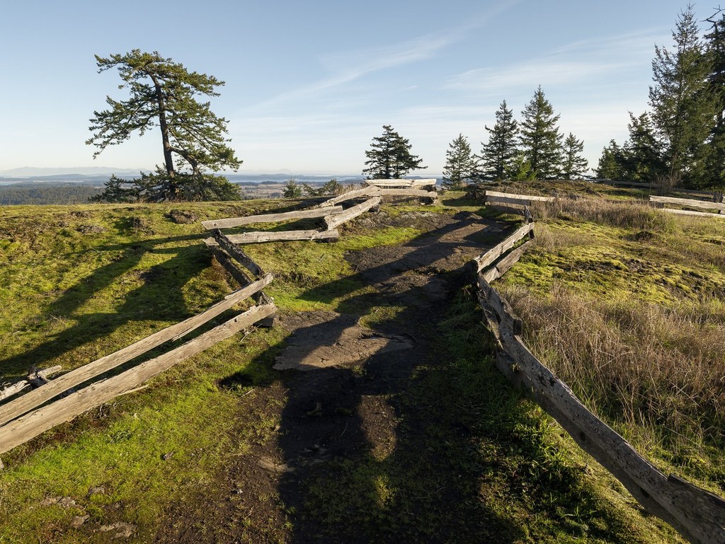


The hiking destination in the San Juan Islands boasts nearly 5 miles of trails to explore. A kiosk at the parking area offers a current trail map and a footpath to access the trails without using the road.
Thoughtfully marked trails with mostly geological names offer you choices:
- All of the following trails lead to the Summit trails
- Greywacke Trail (1 mile: open to hikers, mountain bikers, equestrians)
- Lawsonite Trail (0.52 mile: hikers only)
- Subduction Trail (0.8 mile, marked as the downhill option for mountain bikers)
- Newt Pond Trail (0.8 mile)
Begin your hike in lowland Douglas-fir and Western redcedar forest. As you gain the ridge crest of Mount Grant, you’ll see towering old-growth Douglas firs, rocky balds abounding with uncommon prairie wildflowers and views, views, views like you won’t get anywhere else in the islands. On a clear day, you may get a glimpse of three of Washington’s five volcanoes: Mount Baker, Glacier Peak and Mount Rainier.
The ridge top has ample areas to wander and delight in the surrounding islands and waterways. Please stick to existing trails as this is fragile habitat. Explore the ridge crest and you can choose a different path downhill to make this hike a loop.
Note: It's possible to walk the road instead of the trails but be aware that if the access gate near the trailhead is open, the road is open to vehicles. Driving to the top is allowed on Wed and Sunday from April to Sept, and only on Sunday from Oct to March.
Background
Local conservation organizations have completed an ambitious project to permanently protect this 250-acre property and turned it into a publicly-accessible nature preserve. The area is still under development; read about the background and future plans for the preserve.
 Trailhead