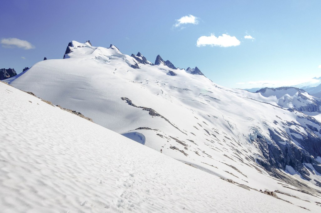

The route to Mount Challenger is a Class 5 and involves glacier travel. Gear and experience recommended.
Mount Challenger can be reached via the Hannegan Pass Trailhead or by boating to the Big Beaver Campground across Ross Lake.
Trails for everyone, forever

 Trailhead
A backcountry permit is required to camp overnight in the North Cascades National Park Complex (incl. Ross Lake National Rec Area and Lake Chelan National Rec Area). They are $10 per person plus a $6 non-refundable reservation fee. Permits must be picked up at the Wilderness Information Center in Marblemount. See the National Park Service website for more details on permits.
WTA Pro Tip: Save a copy of our directions before you leave! App-based driving directions aren't always accurate and data connections may be unreliable as you drive to the trailhead.
To reach Hannegan Pass: Drive Hwy 542 about 46 miles, to 13 miles past Glacier Public Service Center. Just before the third crossing of the Nooksack River Bridge, turn left on road No. 32. At 1.3 miles, take the left fork, Ruth Creek Road, and continue 5.4 miles to the road-end at Hannegan Campground.