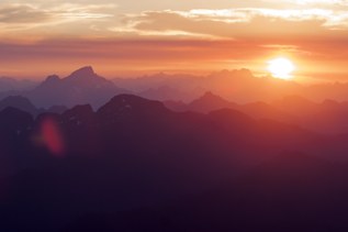
Hike to an old mining town by heading up a long-closed road along the South Fork Sauk River. This route largely sticks to the old route taken by miners over a century ago.
In the 1890s a mining boom brought thousands of men to Monte Cristo, an isolated area nestled in the mountains along the eastern edge of today's Snohomish County. To deliver the lead-silver ore to Everett, a railway was built along the South Fork of the Sauk River. Homesteaders filled the valley and the miners created two tiers of housing at the steep Monte Cristo site, as well as mills to process the ore. By 1893 there were more than 200 mining claims. However, the dreams of riches came to a crashing halt as funding woes, flooding along the rail line and miscalculations about the mining potential caused the production to stall and then cease by 1907. There were a few attempts to make this a resort destination, but they too were abandoned.
Monte Cristo is a ghost town today. A few relics remain, but not much. When visiting, do respect the remaining structures and property. Take photos and imagine the scene here more than a hundred years ago; teeming with men and with tramways bringing ore down from the steep hillsides.
Start at the Barlow Pass trailhead and hike along the closed road for about 4 miles. The way is fairly level, with a few steep spots. Floods in 2003 and 2006 have also taken chunks out of the road, which provides ample evidence as to why this road was never re-opened.
Per the Forest Service, the log crossing hikers must do on the way to the town side is not a bridge. The road is on a Snohomish County road, and the USFS cannot build a bridge on this property. Monte Cristo Preservation Association members may occasionally do work on the log to “improve” it, but it is not a bridge.
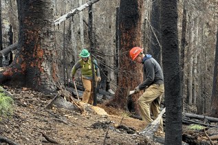
WTA Pro Tip: Leftover materials from the mine were cleaned up during summer 2016. That doesn't mean the water here is drinkable, though. It's a good idea to bring the water you'll need, and if you need to refill, bring filters or treat it before drinking. Note that most backpacking/hiking filters remove only biological hazards, such as bacteria and parasites. These filters do not remove heavy metals or chemical contaminants that remain from historic mining activities.
 Trailhead