Trails for everyone, forever

Home Go Hiking Hiking Guide Market to MOHAI

Market to MOHAI

Puget Sound and Islands > Seattle-Tacoma Area
47.6260, -122.3367 Map & Directions
Length
3.0 miles, roundtrip
Elevation Gain
300 feet
Highest Point
170 feet
Calculated Difficulty About Calculated Difficulty
Easy/Moderate
One of the 75 blue tiles you'll encounter on your urban hike. Photo by Tiffany Chou. Full-size image
  • Coast
  • Dogs allowed on leash
  • Good for kids

Parking Pass/Entry Fee

None
Saved to My Backpack

Explore the heart of Seattle, starting at the Museum of History and Industry in South Lake Union and ending downtown at Pike Place Market. Continue reading

Rating
0.00 out of 5

(0 votes) Log in to rate

Hiking Market to MOHAI

This corridor utilizes streets around Seattle, taking urban hikers from the Museum of History and Industry (MOHAI) to Pike Place Market downtown. You'll walk to or through four urban parks in the city, including Lake Union Park and Denny Park. 

Start at the south end of Lake Union at MOHAI, where you can enjoy some time by the water before heading south toward downtown on Westlake Ave N. After half a mile, turn right on Denny Park for one block. Here, you'll be at Denny Park, where you'll find plenty of greenery and an off-leash dog park. 

Cross Denny Way from here and head southwest down Bell St. In a quarter-mile, you'll walk right through Bell Street Park and Regrade Park, where the sidewalk widens and the street shrinks. 

Continue for another 0.2 miles to Western Ave, and turn left. In 0.3 miles, you'll walk past Victor Steinbrueck Park on your right, where you'll get some wide views of Elliot Bay and the pier. Here, you'll find plenty of benches to sit and have lunch or relax for a while. Just past this, you'll reach Seattle's iconic Pike Place Market. 

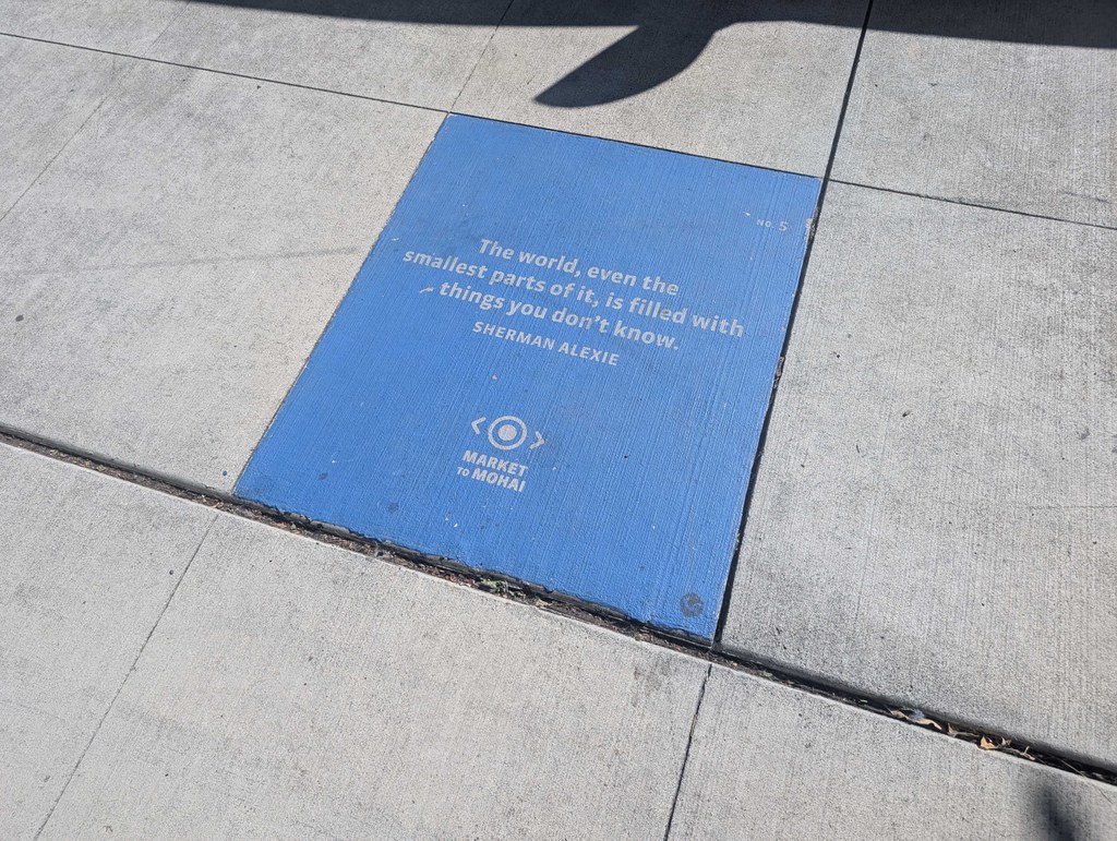
Along the corridor, you'll come across 75 blue tiles embedded in the walkway that display quotes from various people from the Puget Sound, as well as 46 "history blades" (placards on lampposts) sharing some of Seattle's history.

Market to MOHAI

Map & Directions

Trailhead
Co-ordinates: 47.6260, -122.3367 Open in Google Maps

Before You Go

See weather forecast

Parking Pass/Entry Fee

None

WTA Pro Tip: Save a copy of our directions before you leave! App-based driving directions aren't always accurate and data connections may be unreliable as you drive to the trailhead.

Getting There

Both MOHAI and Pike Place Market have limited paid parking, so consider taking public transit to reach either terminus of the hike.

To reach MOHAI, take exit 167 on I-5. Turn right on Fairview Ave N, then turn left onto Valley St. The paid lot will be on the right just past the next intersection with Boren Ave N. 

Take public transit

There are various bus lines that will take you to either MOHAI or Pike Place Market. 

King County Metro C Line and route 40 both drop you off right next to MOHAI at the Westlake Ave N and Mercer St stop.

Any King County Metro bus that travels along 3rd Ave in downtown Seattle will drop you off within a couple of blocks of Pike Place Market. Among the several options are the C, D and E Line and the 3,4, 5, 17, 40, 62 and 132. To find the bus line near you that will take you to Pike Place Market, check the King County Metro website for information about specific routes. 

More Hike Details

Trailhead

Puget Sound and Islands > Seattle-Tacoma Area

Guidebooks & Maps

https://www.markettomohai.org/

You can improve or add to this guidebook entry!

Market to MOHAI

1 Trip Report

Hiked here recently?

Submit a trip report!
 
Loading trip reports...
Trip Reports