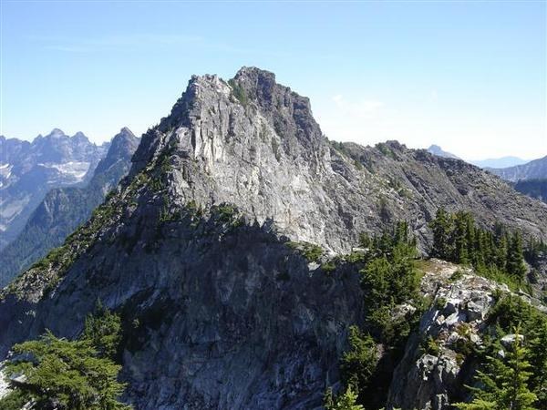

This is a steep scramble up Lundin Peak. Gear and prior experience required.
Lundin Peak

-
 Length
- 7.6 miles, roundtrip
-
 Elevation Gain
- 2,900 feet
-
 Highest Point
- 6,057 feet
This is a steep scramble up Lundin Peak. Gear and prior experience required.
Continue reading
Hiking Lundin Peak
Lundin Peak
Map & Directions
 Trailhead
Before You Go
Parking Pass/Entry Fee
Northwest Forest PassWTA Pro Tip: Save a copy of our directions before you leave! App-based driving directions aren't always accurate and data connections may be unreliable as you drive to the trailhead.


