Trails for everyone, forever

Home Go Hiking Hiking Guide Methow Wildlife Area - Lewis Butte

Methow Wildlife Area - Lewis Butte

North Cascades > Methow/Sawtooth
48.5064, -120.2205 Map & Directions
Length
5.0 miles, roundtrip
Elevation Gain
1,000 feet
Highest Point
3,346 feet
Calculated Difficulty About Calculated Difficulty
Moderate
Lewis Butte. Photo by Billie Jean. Full-size image
  • Dogs allowed on leash
  • Mountain views
  • Wildflowers/Meadows

Parking Pass/Entry Fee

Discover Pass
Saved to My Backpack

A new trail makes this hike a 5-mile roundtrip, gently graded, obstacle-free hike to a broad summit with views of the Methow Valley and Sawtooth Mountains. Most of the trail has no shade and faces south, so it is best done early in the day. Continue reading

Rating
4.38 out of 5

(8 votes) Log in to rate

Hiking Methow Wildlife Area - Lewis Butte

This trail is multi-use for hikers, mountain bikers and horse riders so all can take in the flowers and views. It has been extended to create a loop that goes over the top of Lewis Butte and passes an abandoned homestead with alternate parking. It replaces a very steep jeep trail that is being restored to natural vegetation.

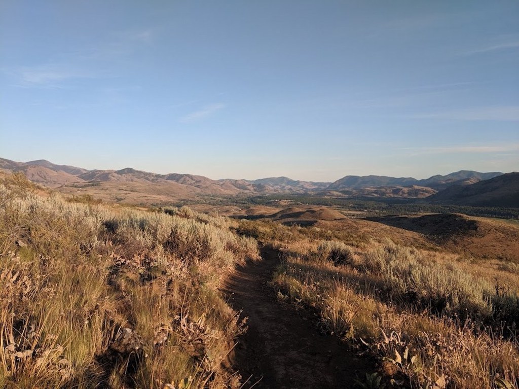
Most users park at a small DNR parking lot on Gunn Ranch Road that services both Lewis Butte and Riser Lake trails. The Lewis Butte Trail starts on the opposite (north) side of Gunn Ranch Road with a gradual climb through the sagebrush. Enjoy the expansive skies above your head and rolling hills dotted with wildflowers under your feet. Almost anywhere makes for a likely lunch spot, so simply walk until you feel like taking a seat, then rest and enjoy the views.

At 0.5 mile, a trail junction provides two options. The trail to the right (east) switchbacks up the southern side of the butte, which has the most flowers in the spring. The trail to the left (west) has a shallow climb around to the northwestern side of the butte, passing an old homestead, before starting a steep final ascent.

Most hikers do an out-and-back trip up the south side of the butte in the spring to take in the flower show. Those with a historical bent: Take in the other trail to see the old homestead home and farming artifacts left out by the old corrals. The trail signs describe the Lewis Butte Loop, which uses both trails.

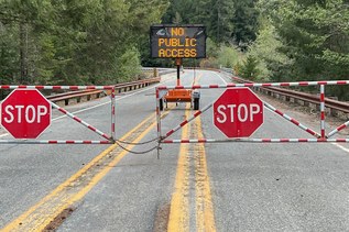
Starting in 2023, the Methow Wildlife Area closes on December 15 and reopens on April 1 of the following year. This is to protect the valley's mule deer herd during the winter.

Toilet Information

  • Toilet at trailhead

More information about toilets

Methow Wildlife Area - Lewis Butte

Map & Directions

Trailhead
Co-ordinates: 48.5064, -120.2205 Open in Google Maps

Before You Go

See weather forecast

Parking Pass/Entry Fee

Discover Pass

WTA Pro Tip: Save a copy of our directions before you leave! App-based driving directions aren't always accurate and data connections may be unreliable as you drive to the trailhead.

Getting There

From Winthrop, follow the West Chewuch Road for 1.5 miles. Turn left on Rendezvous Road. Turn Left on Gunn Ranch Road. 1 mile west on Gunn Ranch Road is a parking lot and toilet.

More Hike Details

Trailhead

North Cascades > Methow/Sawtooth

Washington Department of Fish and Wildlife, Methow Wildlife Area - Rendezvous Unit

You can improve or add to this guidebook entry!

Methow Wildlife Area - Lewis Butte

88 Trip Reports

Hiked here recently?

Submit a trip report!
 
Trip Reports