
Starting from the parking area, an old logging road runs off into the woods. Follow this, and soon you will arrive at a junction where you will turn left onto Jack's. (A right-hand turn heads down valley, where a quarter-mile later the River Run Trail starts. Jack's and River Run can be done together to form a slightly longer loop trail.) Jack's is a multi-user trail so be wary of bikes and horses. In the first quarter-mile of Jack's run, you'll cross a driveway and a few turns but just stay on the main path.
In spring, flowers will be your constant companion. Arrowleaf balsamroot, larkspur, lupine, many, many flowers will entertain you. The trail grows just slightly more rugged as it stretches on.
A few brief climbs followed by a quick short descent. Driveway Butte looms over most of the first few miles. A few small, vernal side creeks exist, named for early Irish settlers, Caloway and McGee.
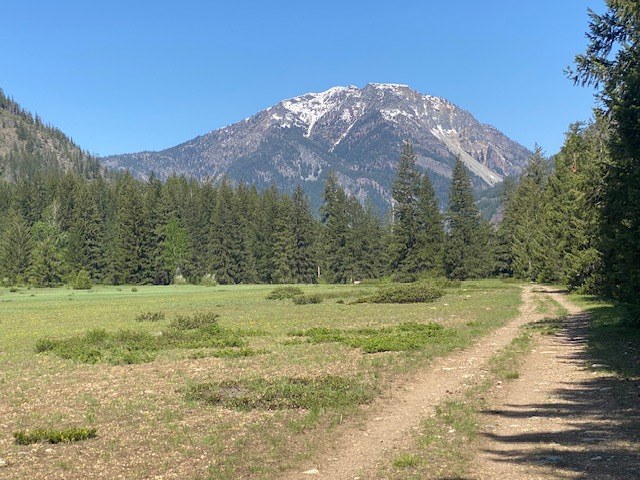
At around two and one half miles the trail comes out to the edge of a meadow with wonderful views. A single residence sits modestly among this grandeur; be respectful and stick to the trail as usage of this trail is through their generosity.
Take a moment to consider that this entire area had been platted out to be two golf courses and part of a much larger ski resort in the 1970s. Only through local resistance was this avoided.
At three and one half miles you'll reach the top of a very large meadow where a bench awaits you. Take some time if you care to and enjoy tranquility and the views. Continue down the opposite valley and quickly back into the trees. At four miles a sharp left-hand turn will take you onto the River Run Trail (not open to bicycles).
Staying on Jack's the trail winds through trees high above the Methow River on an old cut bank. Signs point the way so don't wander off on one of the closed ski trails. At four miles and change a junction will turn you to the right, back towards the trail that you came in on.
A short section of the trail is rocky and you'll cross one last road. At four and eight tenths miles a T junction turn left and you are headed back to the parking lot.
WTA Pro Tip: If you enjoy this trail (and toilet paper at the trailhead) consider supporting Methow Trails a nonprofit that manages a year-round trails network in the Methow Valley.
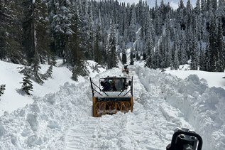
 Trailhead