Trails for everyone, forever

Home Go Hiking Hiking Guide Iverson Railroad Trail

Iverson Railroad Trail

Issaquah Alps > Tiger Mountain
47.4682, -121.9364 Map & Directions
Length
3.3 miles, roundtrip
Elevation Gain
540 feet
Highest Point
1,720 feet
Calculated Difficulty About Calculated Difficulty
Easy/Moderate
A hiker on Iverson Railroad Trail. Photo by Yasobara. Full-size image
  • Dogs allowed on leash
  • Mountain views

Parking Pass/Entry Fee

Discover Pass
Saved to My Backpack

The Iverson Railroad Trail begins at the Tiger Summit Trailhead off SR 18 and heads west along the south side of East Tiger Mountain for roughly 1.7 miles, ending at West Side Road. Continue reading

Rating
3.07 out of 5

(15 votes) Log in to rate

Hiking Iverson Railroad Trail

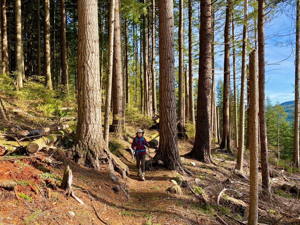
The Iverson Railroad Trail begins at the north end of the Tiger Summit Trailhead parking lot and heads west along the south side of East Tiger Mountain. At the 0.3-mile, mark the trail splits — the left branch is shorter but steeper, the right longer and more gradual — before the two rejoin, just ahead of a sturdy bridge.

Around the 0.6-mile mark, the trees give way to the edge of a recent clear-cut, opening up views of Mount Rainier on clear days. The trail skirts the clear-cut's edge for roughly half a mile, offering warm sunshine and that signature mountain backdrop.

At 1.5 miles, a junction marks where the Iverson Trail continues to the left. The right branch is the Side Hustle Trail — the signage here is a bit confusing, but hikers are allowed on it (mountain bikers use it as a downhill-only run). The Iverson Railroad Trail ends at West Side Road after roughly 1.7 miles from the trailhead.

This trail combines well with others to form a variety of hikes, including trips to the Middle Tiger summit or South Tiger Mountain.

History

In 1896, William Washington Wood and Ivar C. Iverson cofounded the Wood & Iverson Co. They purchased timber acreage near Hobart in 1905. By 1915, they had opened a large sawmill southwest of the current SR 18/Issaquah Hobart Road interchange, and Hobart grew into a company town — complete with a general store, 35 company-built houses, a three-story hotel, and a post office, served by about 15 miles of company railroad track.

On Feb. 23, 1925, a logging train lost control on the downhill run near Holder Creek and plunged into the gully below, killing 35-year-old Nick Karis. The accident site is marked on a tree along the TMT Connector Trail, where a few wheels and other wreckage can still be found. The Wood & Iverson Co. was dissolved in 1945.

Toilet Information

  • Toilet at trailhead

More information about toilets

WTA worked here in 2011!

Hike Description Written by
Yas Obara, WTA Correspondent

Iverson Railroad Trail

Map & Directions

Trailhead
Co-ordinates: 47.4682, -121.9364 Open in Google Maps

Before You Go

See weather forecast

Parking Pass/Entry Fee

Discover Pass

WTA Pro Tip: Save a copy of our directions before you leave! App-based driving directions aren't always accurate and data connections may be unreliable as you drive to the trailhead.

Getting There

From Seattle: From I-90, take exit 25 and head south on SR 18. After the sign for Tiger Summit and Tiger Mountain State Forest, turn right (west) onto the service road. Drive 0.3 mile and turn right into the large paved parking lot. If it's full, an overflow parking area is available on the opposite side of the service road.

More Hike Details

Trailhead

Issaquah Alps > Tiger Mountain

Iverson Railroad Trail (#TIGER)

Washington State Department of Natural Resources

You can improve or add to this guidebook entry!

Iverson Railroad Trail

110 Trip Reports

Hiked here recently?

Submit a trip report!
 
Loading trip reports...
Trip Reports