

The rewards here are high with small islands, snow late into the season and lots of eye-popping scenery.
Start out by crossing the Lostine River, always a beautiful sight of crashing turbulence. Horse packing is popular here so the trail is wide and well-worn, as its easy grade makes the stock-friendly switchbacks. At a mile in, a dramatic cascade kisses the edge of the trail laying bare the granite bedrock below. At 3+ miles, a well-used but very nice campsite is available by Bowman Creek. If this doesn’t suit you, but you haven’t enough gas to get to the lakes, Brownie Basin is just a little bit further. It is a popular hunting destination found by following the obvious side trail to the left up a picturesque valley.
A sharp right turn takes you up and away from this narrow valley through a yet narrower gap and into a basin holding Laverty Lakes. You will feel that you’ve arrived, and well you have, cascades in the distance, a small island that is accessible and just fantasticness all around.
Yet, there is more — a lot more. Past the north end of the lake, the trail in a half mile reaches Chimney Lake, every bit as beautiful as the previous. High walls draped in snow ring this lake, the water is a clear aquamarine — you will be tempted to dive in!
But wait, there is more!
Ascending from here can be trickier for some, especially in early season. Snow covers much of the stock trail ascending to a high pass. Alpine flowers poke out through the rocks in brilliant perfection. The pass is largely windswept and can be quite chilly.
If the terrain above this pass is snowy, the route finding, though perhaps not difficult, is also not straightforward. Getting turned around and off-route is easy to do. One trail descends to Wood Lake. The trail to Hobo Lake turns off to the left and is likely under snow until August. The outlet creek from Hobo undermines the snow, so watch out for that too.
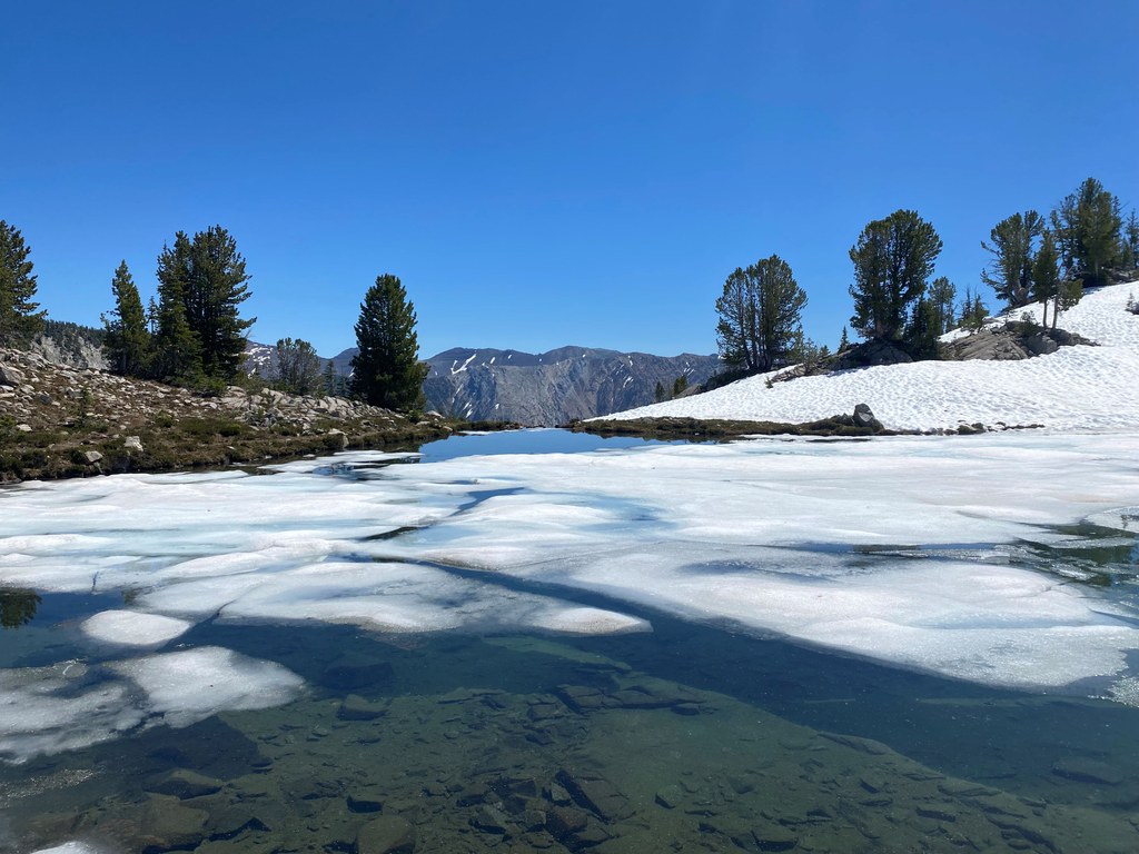
Once you’ve crested the granite domes surrounding Hobo Lake, you’re in heaven. Gin clear water laps against the sun-drenched shore. Lookout Mountain looms above you taunting you to visit, but still another 600 feet of steep snow beyond the end of trail tells you otherwise. Relax, eat lunch, nap — you’ve got a long walk back to the car.
 Trailhead


