Trails for everyone, forever

Home Go Hiking Hiking Guide Green Mountain (Camas)

Green Mountain (Camas)

Southwest Washington > Vancouver Area
45.6491, -122.4552 Map & Directions
Length
3.0 miles, roundtrip
Elevation Gain
576 feet
Highest Point
804 feet
Calculated Difficulty About Calculated Difficulty
Easy/Moderate
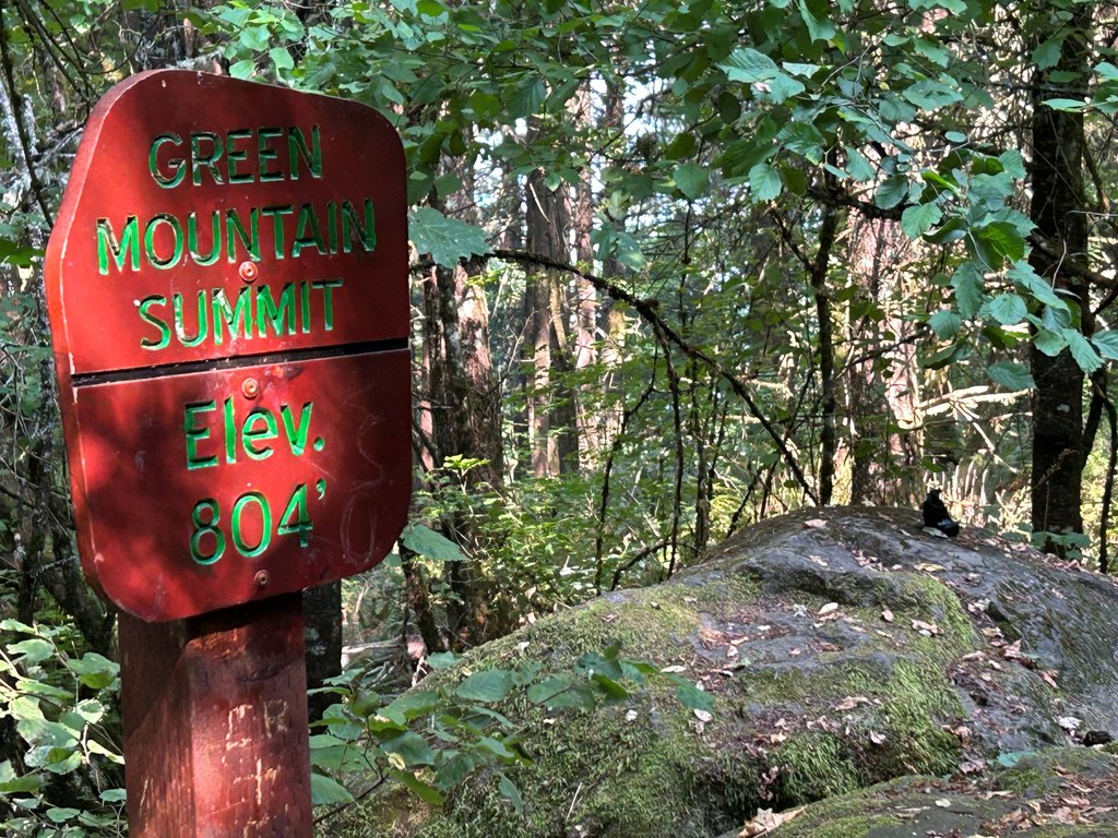
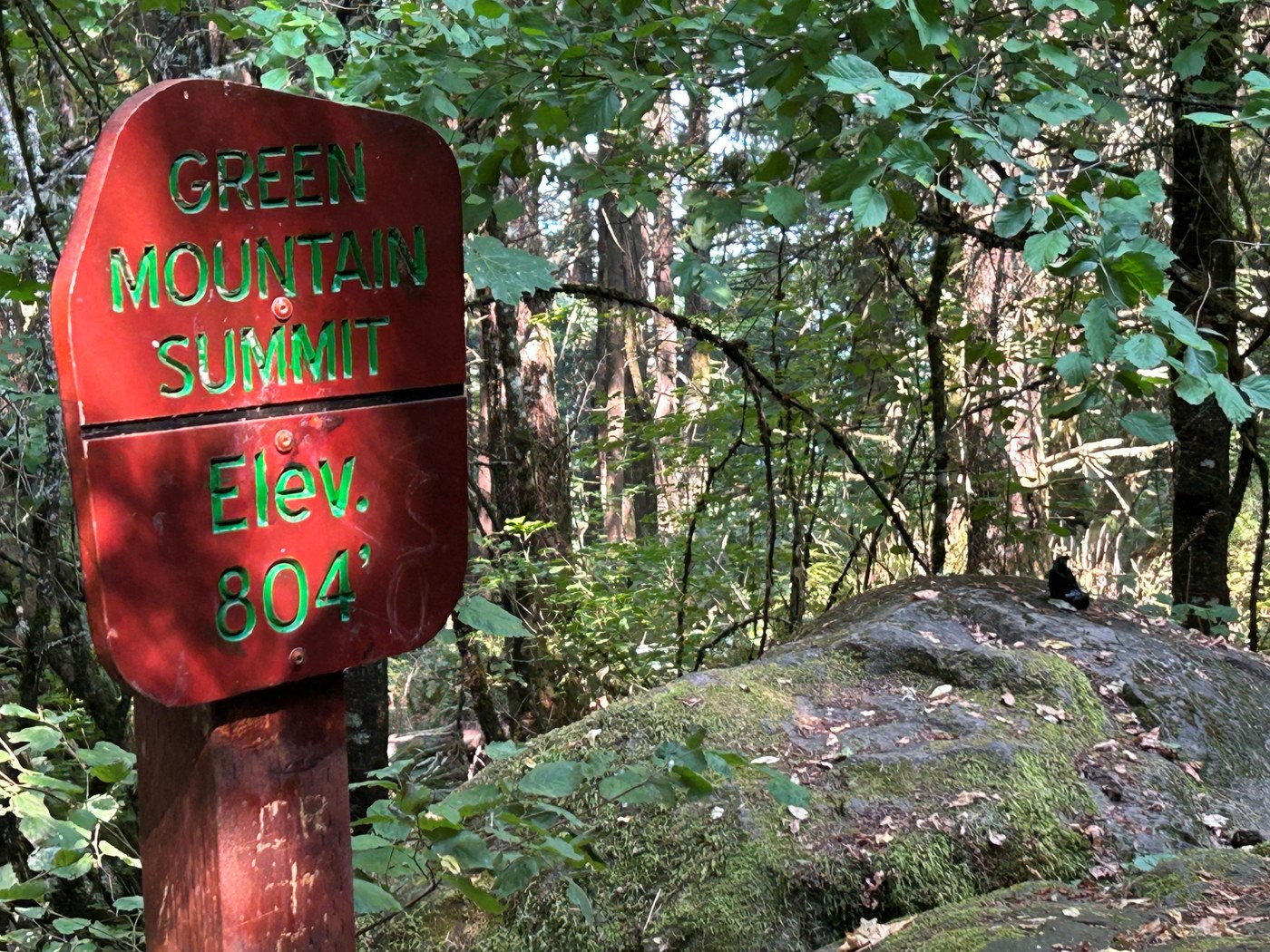
The brightly-colored summit sign on Green Mountain in Camas. Photo by Rod Hooker. Full-size image
  • Dogs allowed on leash
  • Fall foliage
  • Good for kids
  • Mountain views
  • Summits
  • Wildflowers/Meadows

Parking Pass/Entry Fee

None

A 3-mile roundtrip trail to the Green Mountain (Camas) summit, through a mixed fir and maple forest. A moderate grade hike. Continue reading

Rating
0.00 out of 5

(0 votes) Log in to rate

Hiking Green Mountain (Camas)

The Green Mountain (Camas) Legacy Lands Open Space in Clark County Washington is an assemblage of three undeveloped land parcels that is deeply wooded with secondary growth and holds an inviting trail system. There is only one main trail entry point, from the east, that requires parking on the street in a neighborhood by the community pool.

Begin on a paved sidewalk and walk a few yards to where a professionally developed crushed graveled trail begins and follow the trail sign. This section follows behind a few homes and then a quarter of mile into the forest, step on to the well-maintained hard clay tread. As of 2026, this trail was well brushed and free of erosions. At mile 1 is a junction with a choice of an overlook at 0.2 mile east or the opposite route to the summit 0.6 mile away. 

Taking the shorter path, you can look down on the community open space, reverse and head up to the summit. The summit is the pinnacle of an extinct volcano. Alas, a densely wooded top, marked by a sign and with no view.  

Toilet Information

  • No toilet at trailhead

More information about toilets

Hike Description Written by
Rod Hooker, WTA Correspondent

Green Mountain (Camas)

Map & Directions

Trailhead
Co-ordinates: 45.6491, -122.4552 Open in Google Maps

Before You Go

See weather forecast

Parking Pass/Entry Fee

None

WTA Pro Tip: Save a copy of our directions before you leave! App-based driving directions aren't always accurate and data connections may be unreliable as you drive to the trailhead.

Getting There

From Highway 14, exit north onto SE 192nd Avenue. Continue up to NE 13th Street, where you will take a right turn. NE 13th Street becomes NE Goodwin Road. Take a left onto NE Ingle Road. Then enter the new housing development at NE 92nd Avenue. Take a left onto NE Boxwood Street followed by a left onto NE 93rd Lane. The pool is on your right. Turn right onto an alley. At the end of the alley is a parking lot with 12 spaces.

More Hike Details

Trailhead

Southwest Washington > Vancouver Area

Clark County Legacy Lands

You can improve or add to this guidebook entry!

Green Mountain (Camas)

0 Trip Reports

Hiked here recently?

Submit a trip report!
 
There aren't any trip reports for this hike yet.
Loading trip reports...