Trails for everyone, forever

Home Go Hiking Hiking Guide Gibralter Mountain

Gibralter Mountain

Eastern Washington > Okanogan Highlands/Kettle River Range
48.5676, -118.6757 Map & Directions
Sunset on the Gibralter Trail. Photo by Holly Weiler. Full-size image
  • Established campsites

Parking Pass/Entry Fee

None
Saved to My Backpack

WTA helped build this trail on the Republic Ranger District of the Colville National Forest. Open to hikers and bikers, it offers big views of the surrounding area, as well as quiet places to camp. Continue reading

Rating
3.50 out of 5

(2 votes) Log in to rate

Hiking Gibralter Mountain

WTA helped build a new trail on the Republic Ranger District of the Colville National Forest.

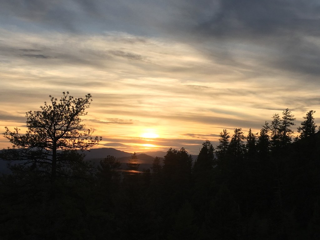
Enjoy broad vistas and burbling creeks of the Kettle foothills in North Central Washington as you hike a WTA-built multi-use trail that may one day be a mountain-biking mecca — as well as a great place to hike.

Toilet Information

  • No toilet at trailhead

More information about toilets

WTA worked here in 2012 and 2011!

Hike Description Written by
Multiple authors contributed to this report, WTA Community

Gibralter Mountain

Map & Directions

Trailhead
Co-ordinates: 48.5676, -118.6757 Open in Google Maps

Before You Go

See weather forecast

Parking Pass/Entry Fee

None

WTA Pro Tip: Save a copy of our directions before you leave! App-based driving directions aren't always accurate and data connections may be unreliable as you drive to the trailhead.

More Hike Details

Trailhead

Eastern Washington > Okanogan Highlands/Kettle River Range

Colville National Forest, Republic Ranger District

You can improve or add to this guidebook entry!

Gibralter Mountain

6 Trip Reports

Hiked here recently?

Submit a trip report!
 
Loading trip reports...
Trip Reports