

There is a rich ecosystem here. Fishtrap Lake is rife with wildlife habitat and natural resources, and hikers who visit will enjoy the landscape in either the short loop options (North Loop or South Loop), or can combine both loops for a longer hike to see it all!
There are two main trailhead access points to explore, and the trail system is marked with brown Carsonite posts with color dot stickers to indicate either the North or South Loop. The North Loop is labeled with blue dots, and the South Loop is labeled with red dots. The shared trail section that conjoins both the North and South Loop has both colors represented on the trail signage.
The easiest access for the North Loop is from the trailhead on Fishtrap Road, about a mile before the resort itself and the Scroggie Road intersection. The North Loop trail includes one of the highest points on the trail system for a big-picture view of the surrounding landscape, and also drops down next to the lakeshore near where it intersects the South Loop Trail. Watch for large-diameter ponderosa pine along the high points on the trail. In other areas, the trail is adjacent to wetlands with fantastic aspen groves. At the intersection with the South Loop Trail, hikers can choose between taking the shared portion of the trail to complete the smaller North Loop, or opt to add on the South Loop to make the hike longer.
The secondary access point, and easiest access for the South Loop Trail, is via the trailhead on Miller Ranch Road. This trailhead also has an outhouse available. Hike the South Loop counter-clockwise to reach the lakeshore first at Farmer's Landing, then continue on to reach a high point above the lake with a fantastic view. This viewpoint is adjacent to the kolk (from the Dutch word for vortex, a giant hole carved into the surrounding basalt by the receding floodwaters from the Missoula Floods over 15,000 years ago). This section of the trail also includes two benches for resting along the hike and taking in the outstanding views. When the trail reaches the intersection with the North Loop Trail, hike the shared section to stay on the South Loop or opt to add on the North Loop for a longer hike.
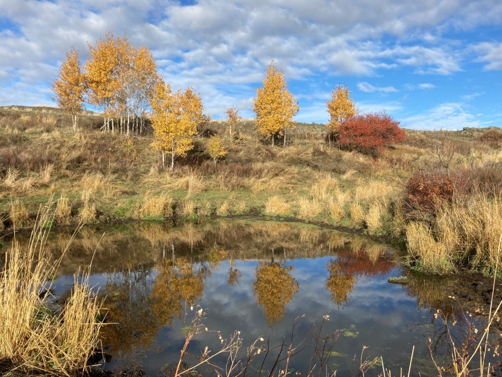
This hike is easily accessible in all seasons, although at its very best for shoulder season. The progression of wildflowers starts early and includes incredible variety. With so many aspen groves near the wetlands along the trail, it should also not be missed as a fantastic fall color hike. The North Loop and South Loop are each approximately 4-4.5 miles in length when hiked individually, and are approximately 8 miles when combined. Nearby Folsom Farm and Hog Canyon are located just across the road from the North Loop Trailhead for additional hiking options.
The area is rangeland for part of the year, so be certain to latch all gates after passing through. It is also a popular hunting area, especially for upland bird hunting, so be sure to wear blaze-orange when visiting during hunting season (which usually starts in September and continues into January for upland bird season).

 Trailhead


