Trails for everyone, forever

Home Go Hiking Hiking Guide Edmonds Marsh

Edmonds Marsh

Puget Sound and Islands > Seattle-Tacoma Area
47.8079, -122.3838 Map & Directions
Length
0.25 miles, roundtrip
Elevation Gain
20 feet
Highest Point
40 feet
Calculated Difficulty About Calculated Difficulty
Easy
Edmonds Marsh on a cloudy fall day. Photo by trip reporter ejain. Full-size image
  • Coast
  • Dogs allowed on leash
  • Good for kids
  • Wildlife

Parking Pass/Entry Fee

None
Saved to My Backpack

Visit a boardwalk and short paved pathway near one of the last remaining waterfront saltwater estuaries in Washington. Continue reading

Rating
2.00 out of 5

Hiking Edmonds Marsh

Take a short stroll down the 300 feet of boardwalk that make up Edmonds Marsh. Along the way, you can stop to take in several interpretive signs. They'll explain what birds you can hear, and a little bit about the history of the area.

The trail is the first stop on the Great Washington State Birding Trail - Cascade loop. Rightly so; as many as 90 species of bird visit this place over the course of a year.

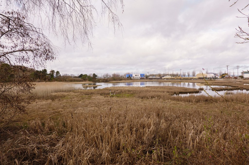
The saltwater-fed estuary that Edmonds Marsh is built on was used by Coast Salish Native people as a fishing village. The area supported fish and shellfish, as well as plentiful plants they used to make clothes and other supplies for living. The tradition is upheld thanks to tribal fishing rights on the Edmonds waterfront, but the marsh area is drastically reduced. Once 40 acres, it is only now 22 acres due to development.

Toilet Information

  • No toilet at trailhead

More information about toilets

Wheelchair Accessibility

The paved paths accessing the boardwalk have a very slight incline. Otherwise the entire trail is flat and paved with no obstacles. Parking is in a large lot, with no restrooms available. Many businesses share the parking area, so there are not designated disabled parking spots near the trailhead for the marsh.

Hike Description Written by
Anna Roth, WTA Correspondent

Edmonds Marsh

Map & Directions

Trailhead
Co-ordinates: 47.8079, -122.3838 Open in Google Maps

Before You Go

See weather forecast

Parking Pass/Entry Fee

None

WTA Pro Tip: Save a copy of our directions before you leave! App-based driving directions aren't always accurate and data connections may be unreliable as you drive to the trailhead.

Getting There

Driving on I-5, take the exit for Edmonds (Exit 177). Turn onto highway 104 W/NE 205th St/Lake Ballinger Way (coming from Seattle, this requires a cloverleaf exit and a quick merge left to get out of a freeway on ramp).

Stay on 104, following signs to the ferry (but staying in the left lanes marked for City Center) for 4 miles. Turn left onto Dayton Street, then take your first left onto a small street. Continue straight through the the next 2 intersections, and when the road bends sharply 90 degrees right, you will see the east entrance to the Edmonds Marsh.

More Hike Details

Trailhead

Puget Sound and Islands > Seattle-Tacoma Area

City of Edmonds

You can improve or add to this guidebook entry!

Edmonds Marsh

9 Trip Reports

Hiked here recently?

Submit a trip report!
 
Trip Reports