A small neighborhood park through a wooded area that leads to an overlook of Puget Sound. A short 0.6-mile trail round trip perfect for young hikers, or those looking for a short hike in the evening. The start of the trail goes behind backyards, just be respectful.
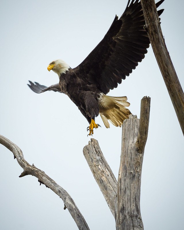
Eagle Landing Park offers 6.21 acres of wooded bluff with an interpretive trail that winds through majestic trees and native undergrowth. Looking up, you may encounter a bald eagle perched high in the treetops. Continuing on, the trail terminates at a viewpoint overlooking Puget Sound.
Eagle Landing Park contains six acres of wooded uplands.
The park entrance is at the west end of SW 149th St and has a five-car paved parking lot.
The Eagle Landing Park property was acquired in 2002. A commitment for project funding was that no structures would be built that would impact natural sediment delivery to the shoreline, such as bulkheads. Stairs connecting people to the shoreline were constructed in 2005.
Starting in late 2014, damage to the stairs was noticed and the stairway was closed to public use due to safety concerns. In late 2015, lower sections of the stairs were removed because they were falling down the hillside from erosion undercutting. On November 21, 2016, City Council approved as part of the 2017–2018 budget a project to terminate the stairs mid-slope at a platform and remove the lower portion of the stairs. Since the stairway closure, the site has been frequently monitored and evaluated for hillside stability.
UPDATE: The stairs that once led down to the shore of Puget Sound suffered from erosion at the bottom. Amid great controversy and at least one lawsuit, all of the metal staircases were removed in January 2024. The trail now ends at 0.3 mile, at a fenced-off platform with a small bench, still nearly 100 feet above the shore. The only view is a glimpse of Puget Sound between mature trees.


 Trailhead


