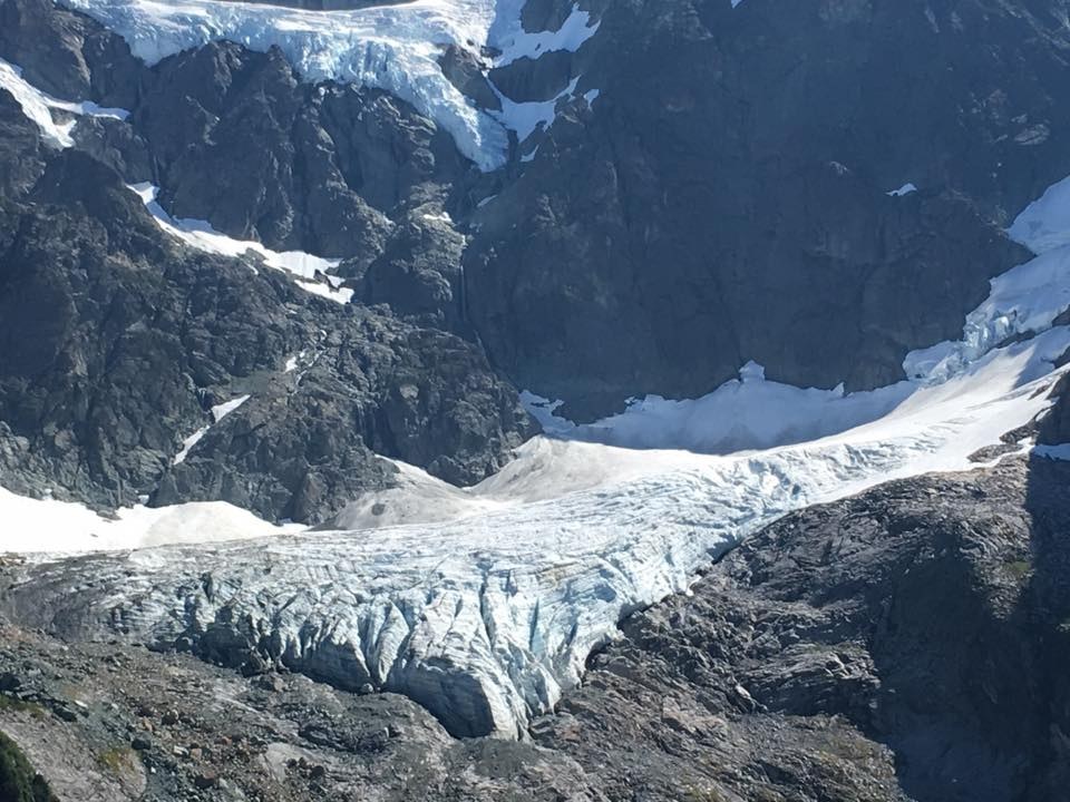
Trails for everyone, forever

Home Go Hiking Hiking Guide Curtis Glacier

Curtis Glacier

North Cascades > Mount Baker Area
48.8501, -121.6865 Map & Directions
Length
10.8 miles, roundtrip
Elevation Gain
2,600 feet
Highest Point
5,200 feet
Calculated Difficulty About Calculated Difficulty
Hard

The last 2.7 miles of the Mount Baker Highway/SR 542 (from Heather Meadows to Artist Point) is closed for the winter season.

  • Established campsites
  • Mountain views
  • Ridges/passes
  • Waterfalls
  • Wildlife

Parking Pass/Entry Fee

Northwest Forest Pass
Saved to My Backpack
Rating
2.67 out of 5

(3 votes) Log in to rate

Hiking Curtis Glacier

Toilet Information

  • No toilet at trailhead

More information about toilets

Curtis Glacier

Map & Directions

Trailhead
Co-ordinates: 48.8501, -121.6865 Open in Google Maps

Before You Go

The last 2.7 miles of the Mount Baker Highway/SR 542 (from Heather Meadows to Artist Point) is closed for the winter season.

See weather forecast

Parking Pass/Entry Fee

Northwest Forest Pass

WTA Pro Tip: Save a copy of our directions before you leave! App-based driving directions aren't always accurate and data connections may be unreliable as you drive to the trailhead.

More Hike Details

Trailhead

North Cascades > Mount Baker Area

Mt. Baker-Snoqualmie National Forest, Mount Baker Ranger District

You can improve or add to this guidebook entry!

Curtis Glacier

14 Trip Reports

Hiked here recently?

Submit a trip report!
 
Loading trip reports...
Trip Reports