Trails for everyone, forever

Home Go Hiking Hiking Guide Coal Lake

Coal Lake

North Cascades > Mountain Loop Highway
48.1142, -121.5182 Map & Directions
Length
0.6 miles, roundtrip
Elevation Gain
44 feet
Highest Point
3,420 feet
Calculated Difficulty About Calculated Difficulty
Easy
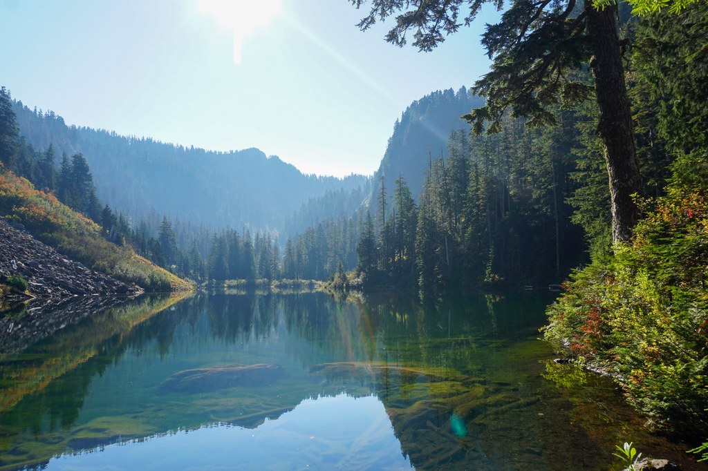
Coal Lake on a bright, sunny day. Photo by Doris Wang. Full-size image
  • Dogs allowed on leash
  • Good for kids
  • Lakes

Visit an alpine lake via a short walk from the trailhead. Road is rough, 4x4 high clearance vehicles recommended. Continue reading

Rating
3.50 out of 5

(8 votes) Log in to rate

Hiking Coal Lake

Visit an alpine lake via a short walk from the trailhead. 

Once at the sign for Coal Lake, there is a pit toilet and trash cans. Look for the trail to Coal Lake on the right side of the road, across from the Coal Lake sign. The trail itself is short; only about 0.1 mile.

You will see the lake immediately and the water is easily accessible, with a few campsites scattered around the lake.

Toilet Information

  • Toilet at trailhead

More information about toilets

Hike Description Written by
Doris Wang, WTA Correspondent

Coal Lake

Map & Directions

Trailhead
Co-ordinates: 48.1142, -121.5182 Open in Google Maps

Before You Go

See weather forecast

WTA Pro Tip: Save a copy of our directions before you leave! App-based driving directions aren't always accurate and data connections may be unreliable as you drive to the trailhead.

Getting There

From the Verlot Public Service Center, travel east on Mountain Loop Highway for 15 miles. Turn left onto Forest Service Road 4060, (Coal Lake Road). Continue on this dirt road for 4.5 miles.

More Hike Details

Trailhead

North Cascades > Mountain Loop Highway

Coal Lake (#632)

Mt. Baker-Snoqualmie National Forest, Darrington Ranger District

You can improve or add to this guidebook entry!

Coal Lake

63 Trip Reports

Hiked here recently?

Submit a trip report!
 
Loading trip reports...
Trip Reports