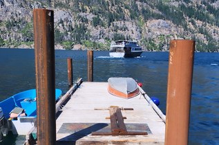

The Chelan River gorge, like Lake Chelan, is the product of Ice Age glaciers and meltwaters, which carved a deep gorge in the bedrock and deposited layers of rocks and sand. The Chelan River is just 4 miles long, running from the Chelan Dam to the Columbia River near the community of Chelan Falls.
Although the dam produces hydropower from Lake Chelan, not the Chelan River, river levels are controlled by the Chelan County Public Utilities District (PUD) and vary seasonally.
Since they manage the river and the land nearby, the Chelan County PUD together with the Lake Chelan Trails Alliance have developed a series of trails winding through the upper Chelan River Gorge.
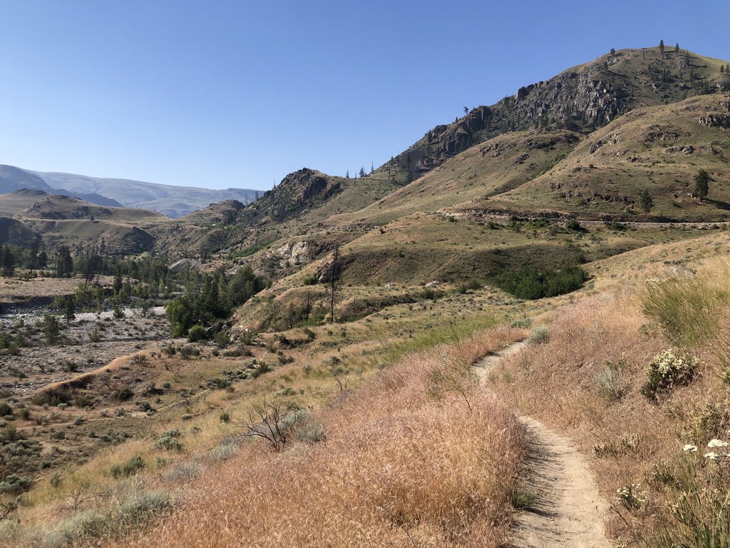
The hike described here includes four well-marked trails (Reach 1, Eagle, Coyote, and Cutthroat) for a total of 5.7 miles, round-trip. Since it's so close to town, you'll likely have company here. No matter, it's a lovely hike regardless.
At the trailhead, check out the trail map on the kiosk, then set off on the wide, packed gravel Reach 1 Trail. The first 0.4 mile is nearly flat and offers a good view of the river below. At 0.4 mile you’ll see a sign identifying the Eagle Trail on the right, while the Reach 1 Trail begins its descent to the river. You can check out the Reach on your way back, but for now, turn onto the single-track Eagle Trail as it continues an overall descent to the cobbly river plain.
After passing two junctions with the Cutthroat Trail, the Eagle Trail begins to ascend. At about 1.2 mile from the start of Eagle you’ll reach a well-marked junction with the Coyote Trail, which makes a loop on the brow off a hill. The only potentially confusing spot is an unmarked social trail that heads west toward Gorge Road.
Pass that and enjoy views of the river gorge from the Coyote Trail until you get back to the junction with Eagle. On your way back toward the trailhead, take the Cutthroat Trail to get close to the river. Here you’ll be
walking on smooth river cobbles; watch your step. Turn right onto the Eagle Trail and head back to its junction with the Reach 1 Trail.
Turn right on the Reach 1 Trail, which descends steeply around a hairpin bend, heading up-river. Three well-written informational signs tell about the geology, wildlife, and the Chelan and Entiat Peoples.
Views along this trail range from dramatic geological bank cuts to, unfortunately piles of metal scrap, decades-old rusty cars and other debris. It's a good reminder of how long our trash can hang around long after we are gone. This may not sound so appealing but it is a good reminder of who we are as a culture.
As you get down to the water’s edge your senses will heighten; look for a cluster of grebes riding the waves, smell a small grove of virgin bitterbrush that has never felt the steely blade of a bulldozer, perhaps if you’re lucky some bighorn will have come down from the hills for a drink.
Retrace your steps on the Reach Trail back to the trailhead.
WTA Pro-Tip: Watch for eagles, deer, and other wildlife. In the spring you’ll see lovely mariposa lilies and
smell fragrant mock orange. There is no shade on these trails so it’s best to hike them in cool weather or early in the morning.
 Trailhead