Trails for everyone, forever

Home Go Hiking Hiking Guide CASEE Forest and Nature Trails

CASEE Forest and Nature Trails

Southwest Washington > Vancouver Area
45.7299, -122.5612 Map & Directions
Length
1.5 miles, roundtrip
Elevation Gain
12 feet
Highest Point
300 feet
Calculated Difficulty About Calculated Difficulty
Easy
The CASEE trails are great for the whole family. Photo by Rod Hooker. Full-size image
  • Dogs allowed on leash
  • Fall foliage
  • Good for kids
  • Lakes
  • Old growth
  • Rivers
  • Wildlife

Parking Pass/Entry Fee

None
Saved to My Backpack

The CASEE trail system consists of two looped forest paths and ends in an arboretum. Continue reading

Rating
0.00 out of 5

(0 votes) Log in to rate

Hiking CASEE Forest and Nature Trails

The CASEE trail system consists of two looped paths beginning at the Center for Agriculture, Science and Environmental Education (CASEE) parking lot in Brush Prairie.

The East Forest loop is 0.5 mile long and passes through an old-growth grove within a ravine. The Arboretum is the middle and the West Forest loop (1 mi long) is in a 75-year-old forest. The central trail has short interconnecting paths, making a lattice arrangement (see campus trail map).

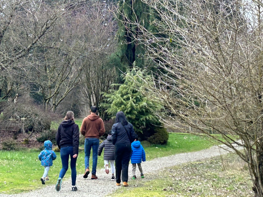
The trails are open to the public and maintained by the center's students; they're open for public hiking, walking dogs, running or visiting the botanical gardens adjacent to the trailhead all year round. The grounds are extensive (20 acres), forested and offer interpretative signage. Paths are gravel, dirt or wood chips. 

Toilet Information

  • Toilet at trailhead

More information about toilets

Hike Description Written by
Rod Hooker, WTA Correspondent

CASEE Forest and Nature Trails

Map & Directions

Trailhead
Co-ordinates: 45.7299, -122.5612 Open in Google Maps

Before You Go

See weather forecast

Parking Pass/Entry Fee

None

WTA Pro Tip: Save a copy of our directions before you leave! App-based driving directions aren't always accurate and data connections may be unreliable as you drive to the trailhead.

Getting There

To get from downtown Vancouver, WA, to Brush Prairie, head north on Main Street or Broadway, connect to SR-503 (E Evergreen Blvd), then continue north past Battle Ground, taking local roads like NE 119th St or NE 142nd Ave towards Brush Prairie, primarily using SR-503 and local county roads for a ~15-20 minute drive for the approximately 10-mile journey. 

More Hike Details

Trailhead

Southwest Washington > Vancouver Area

Washington Department of Natural Resources

You can improve or add to this guidebook entry!

CASEE Forest and Nature Trails

0 Trip Reports

Hiked here recently?

Submit a trip report!
 
There aren't any trip reports for this hike yet.
Loading trip reports...