Trails for everyone, forever

Home Go Hiking Hiking Guide Caddis Fly

Caddis Fly

Puget Sound and Islands > Bellingham Area
48.6169, -122.3857 Map & Directions
Length
0.3 miles, one-way
Elevation Gain
112 feet
Highest Point
2,000 feet
Calculated Difficulty About Calculated Difficulty
Easy
The Caddis Fly trail is open to hikers, mountain bikers and equestrians. Photo by Ranger Dick. Full-size image
  • Dogs allowed on leash

Parking Pass/Entry Fee

Discover Pass
Saved to My Backpack

This is a short trail within the Blanchard Mountain trail system. Continue reading

Rating
0.00 out of 5

(0 votes) Log in to rate

Hiking Caddis Fly

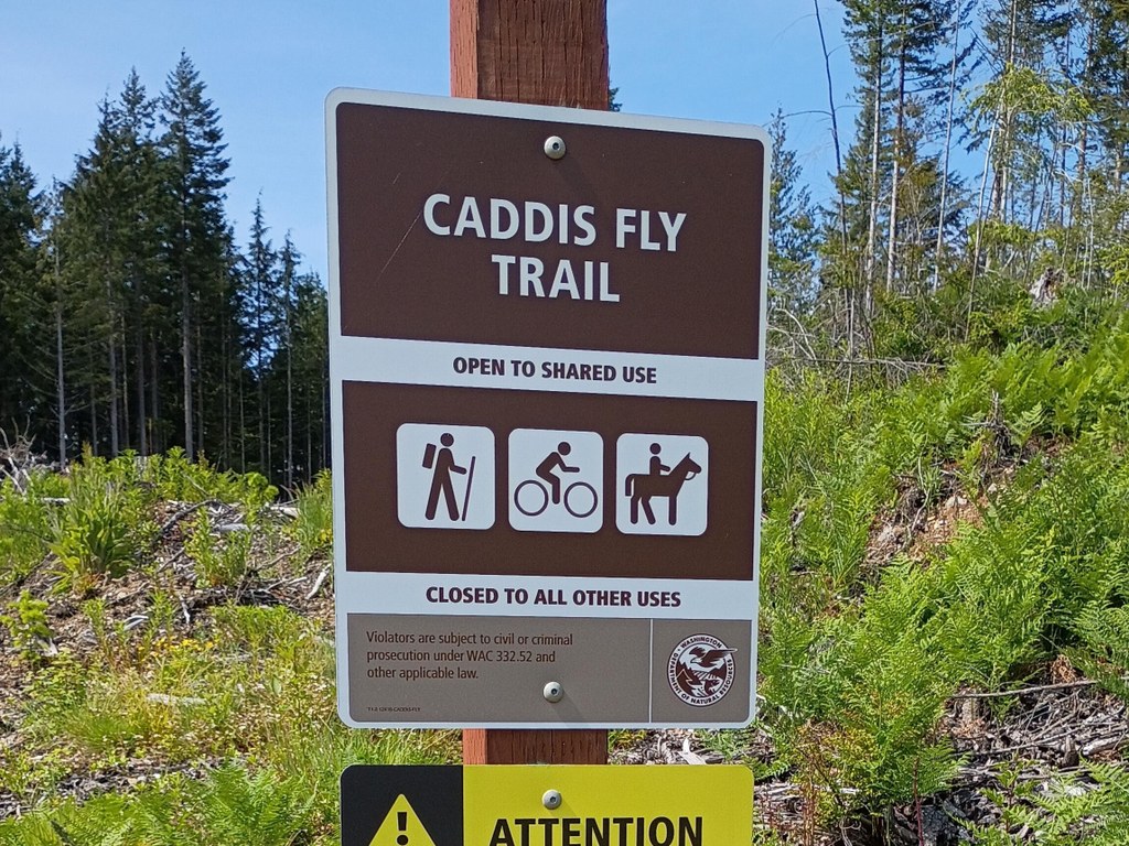
This small trail within the Blanchard Mountain trail system meets at a junction with the Alternate Incline, Lily Lizard and British Army trails right next to Lizard Lake. Though the trail itself is short, it connects to forest roads and many other trails to extend your hike. 

To reach the trail from the Upper Blanchard trailhead, one option is to take BL-ML Road (also known as DNR road B-1000) north for 1 mile to its junction with the Alternate Incline trail, then take the Alternate Incline trail to its end, about another (quite steep) mile. At this junction, turning to the right takes you onto the Caddis Fly trail. 

Toilet Information

  • Toilet at trailhead

More information about toilets

Caddis Fly

Map & Directions

Trailhead
Co-ordinates: 48.6169, -122.3857 Open in Google Maps

Before You Go

See weather forecast

Parking Pass/Entry Fee

Discover Pass

WTA Pro Tip: Save a copy of our directions before you leave! App-based driving directions aren't always accurate and data connections may be unreliable as you drive to the trailhead.

Getting There

Though there is no drivable trailhead to the Caddis Fly trail, the closest trailhead is likely the Upper Blanchard trailhead. 

To reach the Upper Blanchard trailhead, from I-5, take exit 240 (Alger) and head west on Lake Samish Road. Take the first left onto Barrel Springs Road and travel 0.6 mile, to where there is a sign reading "Blanchard Forest Block." Turn right on the dirt road and travel another 1.7 miles to the junction marked "Samish Outlook." Without turning, stay straight; the road soon ends in a large parking lot.

There is parking for about 20 vehicles, as well as a vault toilet here. 

More Hike Details

Trailhead

Puget Sound and Islands > Bellingham Area

Washington Department of Natural Resources

You can improve or add to this guidebook entry!

Caddis Fly

1 Trip Report

Hiked here recently?

Submit a trip report!
 
Loading trip reports...
Trip Reports