Length
 Elevation Gain
 Highest Point



Note: Because of former mining activities, there is no potable water in the park, so be sure to bring all that you'll need.
From the trailhead, the Bullitt Fireplace Trail heads steadily uphill. Along the way you will pass signed junctions with several other trails. Stay on the Bullitt Fireplace Trail and it will take you to the cabin site.
Enjoy the forest here, not just the trees but all the moss and ferns too. In spring and early summer, be alert for a few wildflowers.
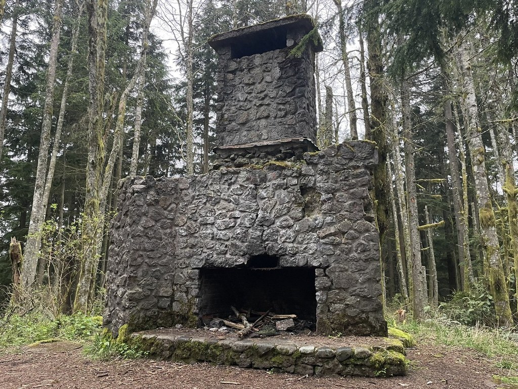
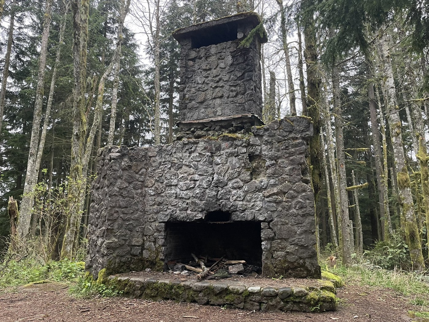
In just under 2 miles, the fireplace looms up about 50 feet off the trail on the right. Nearby, a rustic picnic table is available in case you want to sit for a few minutes.
Extend your hike
To add 1.5 miles to your round trip, with an extra 250 feet or so of elevation gain, continue on the Bullitt Fireplace Trail another 0.3 mile beyond the fireplace and reach a junction with the Central Peak Trail. Turn right here. In an additional 0.3 mile, with about 200 feet of elevation gain, reach the "summit" of Central Peak.
The fenced summit area is occupied by communication towers, and an official benchmark is installed just outside the fence on the south side. There is no view here.
To continue, head back down the Central Peak Trail the way you came. In less than 0.1 mile, turn right on the Old Griz Trail. (The name likely refers to an old miner; there are no grizzly bears in the park.)
The next 0.4 mile of the Old Griz Trail pass through some of the most beautiful forest you will see on Squak Mountain. Take time to enjoy it. The light is best in the early morning when the sun comes through the trees at a very low angle.
Pass a junction with Phil's Creek Trail. Continue another 0.3 mile on the Old Griz Trail to reach a T-junction with the East Side Trail, where you turn left.
The East Side Trail offers a fairly level traverse for 0.8 mile, then rejoins the Bullitt Fireplace Trail at a junction you will recognize from your incoming hike. Follow the Bullitt Fireplace Trail a mile back to your trailhead.
Historical note
The Bullitt family built the cabin in 1952. Charles Stimson "Stim" Bullitt and family members used it (infrequently) as a weekend retreat. The Bullitt family owned and managed Seattle's KING radio and TV stations, and had extensive real estate holdings that included 590 acres here on Squak Mountain. Since the cabin was not used often, it was vandalized repeatedly, fell into disrepair and eventually burned. Later, the Bullitt family donated the land to the state to form the nucleus of Squak Mountain State Park.
Stim, who died in 2009, valued parks and open space, believing all citizens should enjoy a good quality of life. The outdoors and conservation were his lifelong passions. As a lawyer and philanthropist, environmental protection was a priority.
 Trailhead